Taranaki Region, Administrative region on the western coast of North Island, New Zealand.
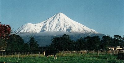
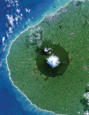
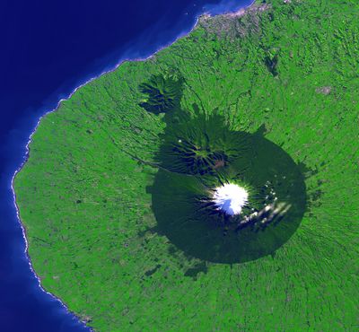
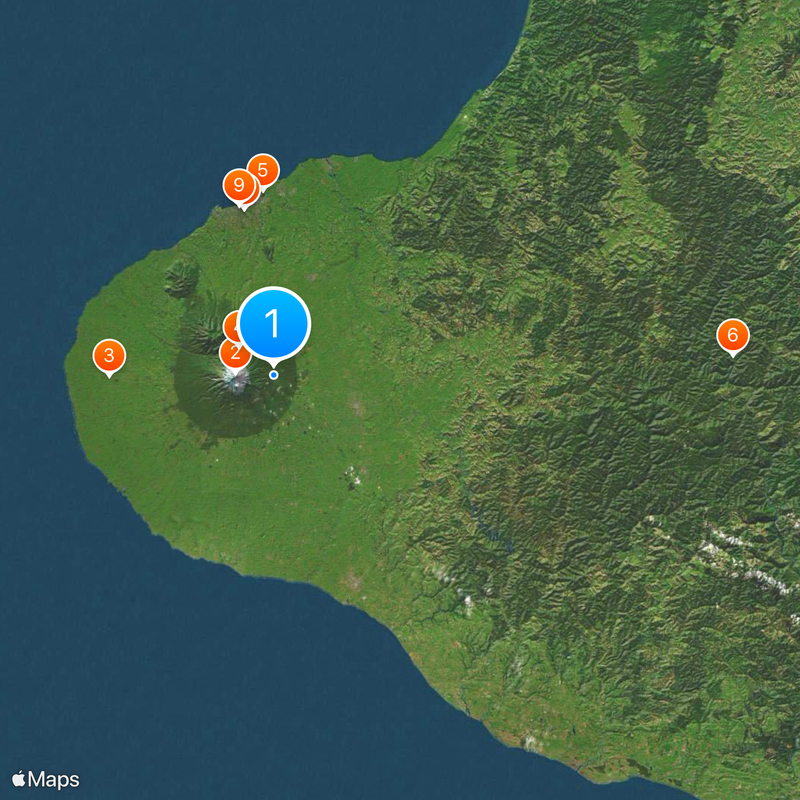
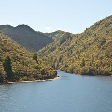
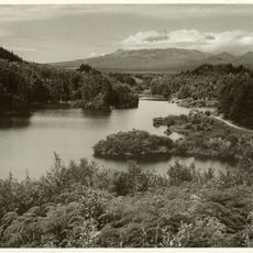
Taranaki is an administrative region on the western coast of New Zealand's North Island, covering around 7,000 square kilometers. Mount Taranaki, a dormant stratovolcano rising over 2,500 meters, dominates the landscape as the central feature and defines the geography of three main districts that make up the territory.
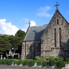
The region was home to Maori settlements for centuries before Europeans arrived in 1841 and founded New Plymouth as the first European settlement. This arrival marked a turning point that reshaped the territory's population, land use, and development.
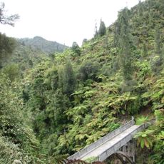
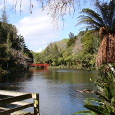
Maori heritage runs deep in this region, with local iwi maintaining ancestral connections to the land through ceremonies, place names, and everyday cultural practices. The influence shapes how communities celebrate their identity and interact with the surrounding landscape.
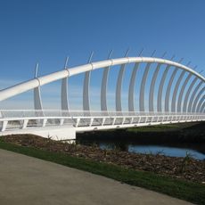
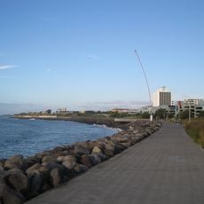
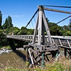
The region is administered by a regional council based in Stratford, managing environmental and transportation matters across the territory. Visitors should expect changeable weather and plan to explore by car, as the main districts are spread across considerable distances.
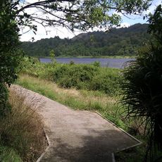
The territory is shaped by volcanic soil that forms a circular ring of exceptional fertility around Mount Taranaki, making it one of the country's most productive dairy regions. This fertile plain creates a distinctive landscape pattern visible even from a distance.
The community of curious travelers
AroundUs brings together thousands of curated places, local tips, and hidden gems, enriched daily by 60,000 contributors worldwide.