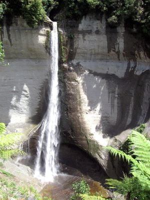
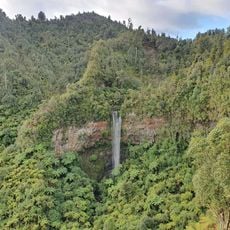
Mount Damper Falls, 74-meter waterfall in Waitaanga Conservation Area, North Island, New Zealand.
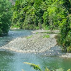
Mount Damper Falls is a waterfall in Waitaanga Conservation Area on New Zealand's North Island where Mount Damper Stream plunges from a sandstone cliff into a deep pool. Native trees and plants grow thickly around the base and along the stream banks in this protected natural area.
The waterfall was first documented in 1900 when government surveyor L C Sladden discovered it during work in the Waro Survey District. The location became known to settlers and travelers in the surrounding Taranaki region after this initial survey work.
The waterfall sits near the Tihi-Manuka trail, a traditional path that Maori people used to connect the Taumaranui region with the north Taranaki coast.
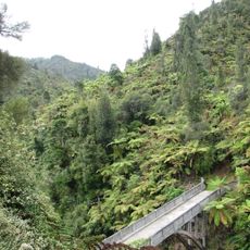
A visit requires about a 40-minute return walk through farmland and forest with two viewing platforms at different points. Plan your trip outside August to October when the path closes annually for the lambing season on the working sheep farm.
The walking track passes through active sheep farming territory, requiring the path to close each year during lambing season from August to October. This farming constraint shapes visitor access and turns the walk into a seasonal experience tied to agricultural rhythms.
The community of curious travelers
AroundUs brings together thousands of curated places, local tips, and hidden gems, enriched daily by 60,000 contributors worldwide.