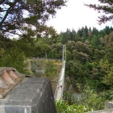
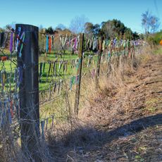
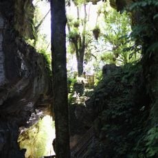
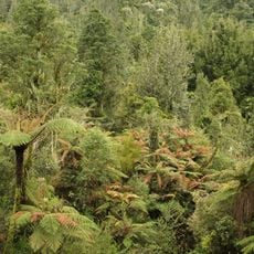
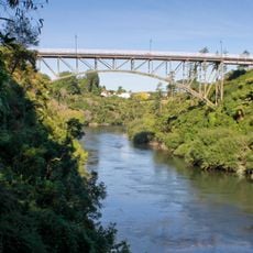
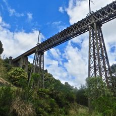
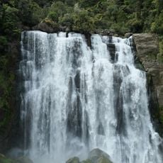
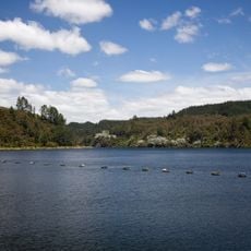
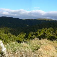
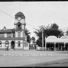
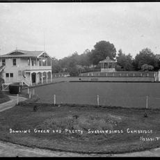
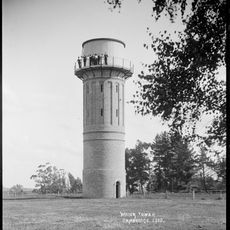
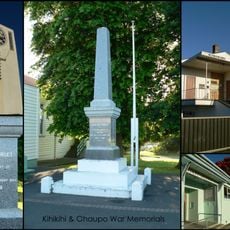
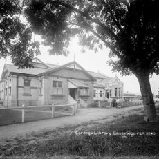
Ōtorohanga District, territorial authority district in Waikato Region, New Zealand
Location: Waikato Region
Inception: 1979
Capital city: Ōtorohanga
Shares border with: South Waikato District, Waikato District, Waipa District, Waitomo District
GPS coordinates: -38.25000,175.33333
Latest update: March 8, 2025 07:27
Waitomo Glowworm Caves
20.1 km
Waitomo Caves Hotel
19.9 km
Arapuni Suspension Bridge
33.8 km
Toothbrush fence
41 km
Mangapohue Natural Bridge
37.8 km
Pirongia Forest Park
36.3 km
Victoria Bridge
40.9 km
Waiteti Viaduct
17.7 km
Marokopa Falls
42.1 km
Lake Waipapa
30.9 km
Tawarau Conservation Area
40.9 km
Tawarau Falls
34.8 km
Alpha Hotel
23.9 km
Cambridge Town Hall
41.5 km
St Andrew's church complex
41.8 km
World War One Memorial
12.9 km
World War One Memorial
26.7 km
Cambridge War Memorial
41.5 km
National Hotel
41.5 km
Rangitoto Range
14.1 km
Cambridge Post Office
41.2 km
Band Rotunda
40.5 km
Cambridge Water Tower
41.4 km
World War One Memorial
23.7 km
Town Hall
23.7 km
Clock Tower
41.5 km
Arnold House
41.3 km
Carnegie Library
41.6 kmReviews
Visited this place? Tap the stars to rate it and share your experience / photos with the community! Try now! You can cancel it anytime.
Discover hidden gems everywhere you go!
From secret cafés to breathtaking viewpoints, skip the crowded tourist spots and find places that match your style. Our app makes it easy with voice search, smart filtering, route optimization, and insider tips from travelers worldwide. Download now for the complete mobile experience.
A unique approach to discovering new places❞
— Le Figaro
All the places worth exploring❞
— France Info
A tailor-made excursion in just a few clicks❞
— 20 Minutes