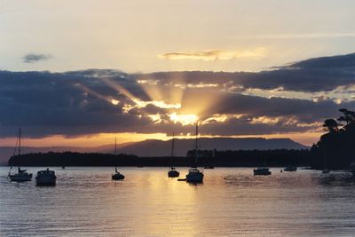
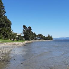
Kaimai Range, Mountain range between Waikato and Bay of Plenty, New Zealand.
The Kaimai Range is a mountain range on the North Island of New Zealand that separates the Waikato region from the Bay of Plenty. It consists of several connected ridges and peaks, with Mount Te Aroha at 953 meters (3,127 ft) being the highest point.
The range formed over one million years ago through tectonic uplift that continues to shape the land today. Volcanic activity had already ceased around 5.5 million years ago, leaving behind the rock structures that define the ridges.
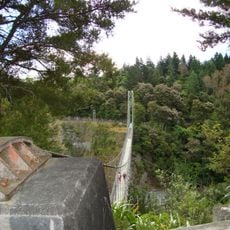
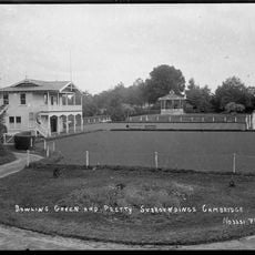
Māori peoples traditionally used these pathways to connect different tribal territories and maintain relationships across regions. The walking routes that remain visible today reflect how central this area was to movement and trade between communities.
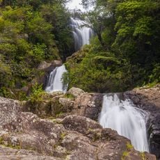
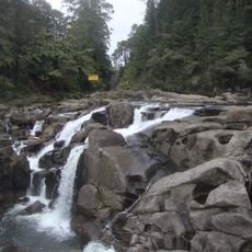
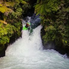
Several walking trails cross the range, including the Hendersons Tramline Loop Track which follows old forest railway routes and is open to most visitors. Trail difficulty varies across sections, so it is worth checking your fitness level and weather conditions before heading out.
A roughly 9-kilometer (5.5-mile) railway tunnel runs beneath the range, making it the longest in New Zealand, allowing trains to pass through the mountain without crossing the exposed ridges above. It was built primarily to ease the movement of freight between the regions on either side.
The community of curious travelers
AroundUs brings together thousands of curated places, local tips, and hidden gems, enriched daily by 60,000 contributors worldwide.