Pukematekeo, Summit in Waitakere Ranges, New Zealand
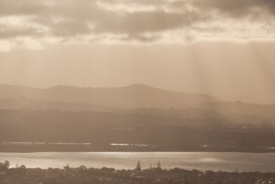
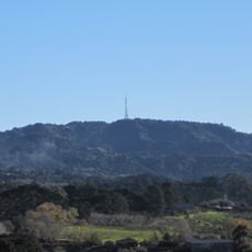
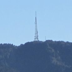
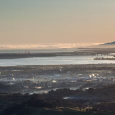
Pukematekeo is a summit in the Waitakere Ranges located at 336 meters elevation, marking the northernmost point of the Waitakere Ranges Regional Park. The summit provides views across the Auckland region.
The summit was acquired in 1926 by Auckland City Council from settlers under the Public Works Act to establish a scenic kauri forest reserve in the Waitakere Ranges. This purchase shaped the development of the regional park.
The name Pukematekeo holds deep meaning in Maori culture, marking the final hill of the Waitakere Ranges within Te Kawerau ā Maki territory. This location was traditionally important to local Maori communities.
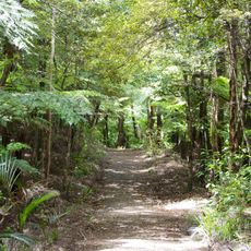
Reaching the summit involves hiking through connected trail systems that branch from Scenic Drive. The walk is moderately accessible, but visitors should expect uneven paths and steep sections along the way.
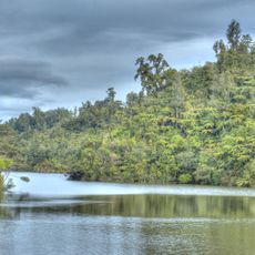
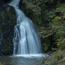
The summit serves as a water divide feeding two separate river systems: the Kumeu River flows northward while Cassel Stream flows eastward into Henderson Creek. This hydrological role makes the location central to the regional ecosystem.
The community of curious travelers
AroundUs brings together thousands of curated places, local tips, and hidden gems, enriched daily by 60,000 contributors worldwide.