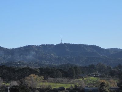
Ruaotuwhenua, Mountain summit in Auckland Region, New Zealand.
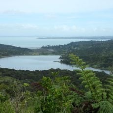
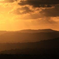
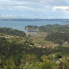
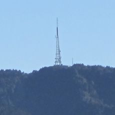
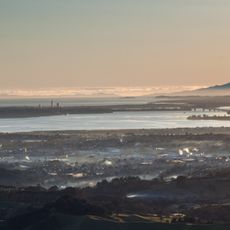
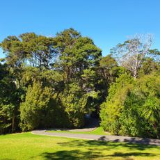
Ruaotuwhenua is a 440 meter summit in the Waitakere Ranges, topped with an air traffic radome and supporting infrastructure down its slope. The peak offers views across the ranges and toward Auckland, with native forest covering much of the surrounding terrain.
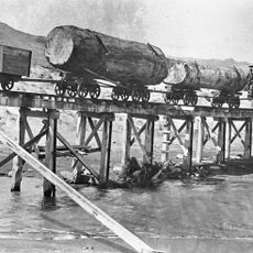
The mountain formed during the Miocene era 3 to 5 million years ago as part of a volcanic crater system that rose from the seafloor. This volcanic origin shaped the entire Waitakere Ranges landscape.
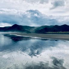
The Te Kawerau ā Maki people named this peak Ruaotuwhenua, meaning 'the rumble of the earth,' after the sound of surf echoing through Nihotupu Valley. This connection between the land and ocean waves is felt when you stand at the summit and listen to the winds across the ranges.
Access is via Scenic Drive near Waiatarua settlement, which connects to walking tracks leading to the summit. Weather at this elevation changes quickly, so dress in layers and allow time for the hike to account for steep sections and exposed areas.
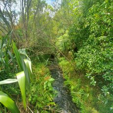
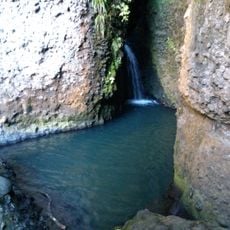
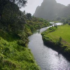
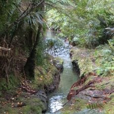
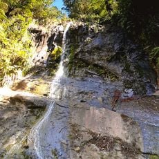
Water flows from different slopes feed separate streams and reservoirs, with one drainage system eventually supplying water resources to the region. This role as a water source is less known than the mountain's visibility from Auckland.
The community of curious travelers
AroundUs brings together thousands of curated places, local tips, and hidden gems, enriched daily by 60,000 contributors worldwide.