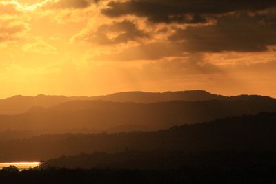
Te Toiokawharu, Mountain summit in Waitākere Ranges, New Zealand.
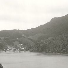
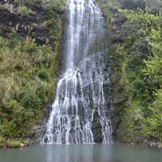
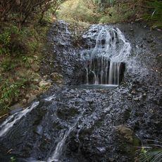
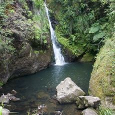
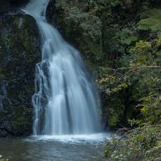
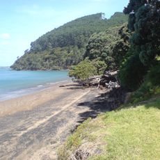
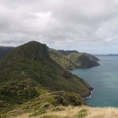
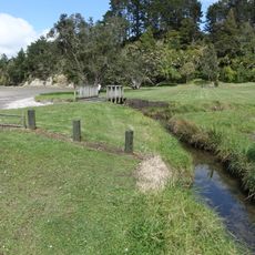
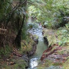
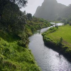
Te Toiokawharu is the highest summit in the Waitakere Ranges north of Auckland, rising to about 474 meters above sea level. The peak sits at the meeting point of multiple streams, including Georges Stream on the northern slopes and Karamatura Stream to the south.
The summit received its official Maori name in 1941 when Ngati Whatua representatives were consulted by the New Zealand Geographical Board. This naming process marked a formal recognition of indigenous place names across the region.
The name Te Toiokawharu references a Waikato Tainui ancestor whose legacy shaped the region's story. Local communities today recognize this connection through the Maori name used for the summit.
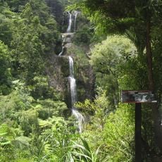
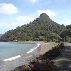
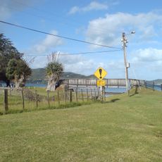
The Twin Peaks Track is the main walking route to the summit, starting from Huia Dam Road and taking around 5 to 6 hours for the full journey. The trail is accessible year-round, though conditions can be muddy and slippery, especially after rain.
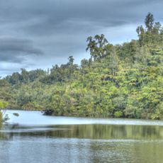
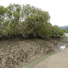
This summit marks the origin point for multiple streams that feed into the Lower Huia Dam system, which supplies water for Auckland's power generation. Most visitors are unaware they stand directly above the beginnings of these important water sources when reaching the peak.
The community of curious travelers
AroundUs brings together thousands of curated places, local tips, and hidden gems, enriched daily by 60,000 contributors worldwide.