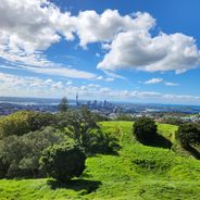
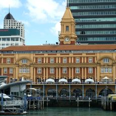
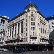
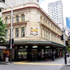
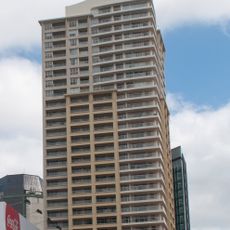
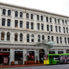
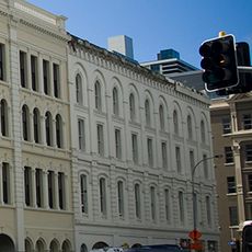
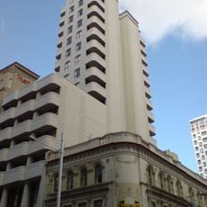
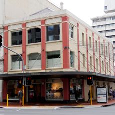
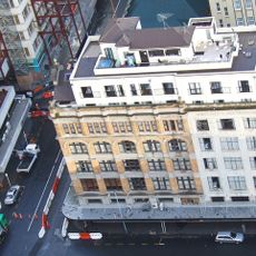
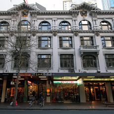
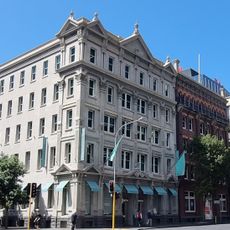
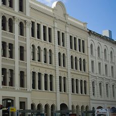
Te Komititanga, square in Auckland
Te Komititanga is a pedestrian square in the Auckland Region designed as a public gathering space. The plaza features open areas for lingering and is framed by surrounding structures that define its character.
The square was created as part of Auckland's 21st-century urban development. It was established as a public space to bring the community together.
The square is easily accessible and invites free exploration without fixed paths or constraints. Visitors can use the space at their own pace and linger in any area that appeals to them.
Location: Auckland Region
Creator: Tessa Harris
GPS coordinates: -36.84384,174.76685
Latest update: December 6, 2025 19:06
Auckland sits between the Pacific Ocean and the Tasman Sea on a narrow isthmus marked by roughly 50 extinct volcanic cones. Mount Eden and One Tree Hill rise above the neighborhoods and offer views across the harbor, while Rangitoto stands as the largest volcanic island in the region and can be reached by ferry. The coastline shifts between the sheltered eastern beaches such as Mission Bay and Takapuna Beach and the black sand western shores at Piha and Bethells Beach, where the Pacific meets the Waitakere Ranges directly. The Auckland War Memorial Museum in Auckland Domain holds Polynesian collections and New Zealand military history, while Auckland Art Gallery displays European and indigenous art. Viaduct Harbour serves as a dining precinct and departure point for harbor cruises, and the New Zealand Maritime Museum documents the country's seafaring past. Karangahape Road gathers alternative shops and nightlife, Ponsonby draws an older crowd with cafés and boutiques. Britomart clusters restaurants and design stores in converted waterfront buildings. Waiheke Island hosts wineries such as Mudbrick Vineyard and Man O' War Vineyards scattered among vineyards and bays, while Tantalus Estate operates in West Auckland. Auckland Botanic Gardens present native plant species across 158 acres, and Auckland Zoo keeps over 1,400 animals. Queen Street runs through the center from the harbor to the University of Auckland, and Sky Tower stands 1,076 feet (328 meters) above the city. This selection covers the main sites for understanding Auckland's geography and range.
Auckland Ferry Terminal
94 m
Dilworth Building
119 m
Imperial Hotel
213 m
PricewaterhouseCoopers Tower
142 m
Quay West
178 m
P Hayman & Co. Warehouse
129 m
Masonic Club / Buckland Building
215 m
Customhouse
142 m
Imperial Buildings
169 m
Quest on Queen
199 m
Wharf Pavilions
142 m
Levy Buildings
144 m
Wright's Buildings
218 m
Barrington Building
106 m
Dingwall Building
214 m
Jarden House
53 m
1 Queen Street
47 m
AJ Park
154 m
Encom House
174 m
Excelsior Building
166 m
Windsor House
199 m
Customs Street Historic Area
205 m
Everybody's Building
189 m
Stanbeth House
181 m
Endeans Building
61 m
A Māori Figure in a Kaitaka Cloak
44 m
Aon Centre
155 m
Season
100 mReviews
Visited this place? Tap the stars to rate it and share your experience / photos with the community! Try now! You can cancel it anytime.
Discover hidden gems everywhere you go!
From secret cafés to breathtaking viewpoints, skip the crowded tourist spots and find places that match your style. Our app makes it easy with voice search, smart filtering, route optimization, and insider tips from travelers worldwide. Download now for the complete mobile experience.
A unique approach to discovering new places❞
— Le Figaro
All the places worth exploring❞
— France Info
A tailor-made excursion in just a few clicks❞
— 20 Minutes