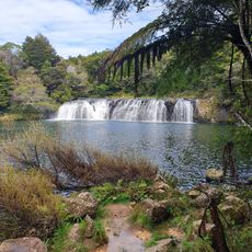
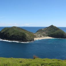
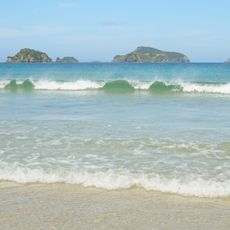
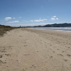
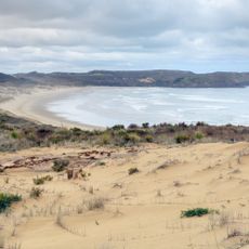
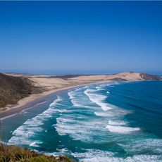
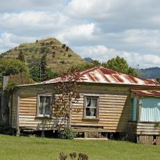
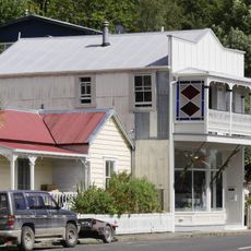
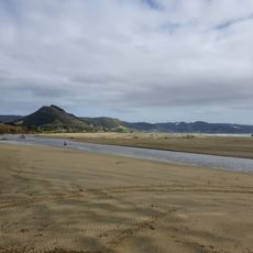
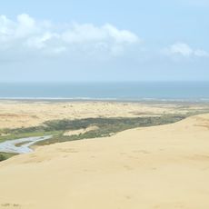
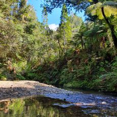
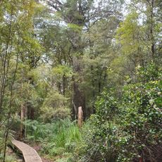
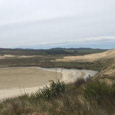
Hikurua / de Surville Cliffs, Coastal cliffs in Far North District, New Zealand.
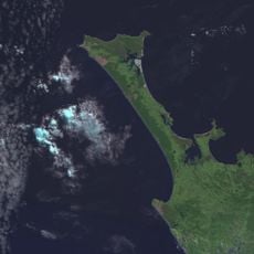
Hikurua / de Surville Cliffs form the northernmost edge of the North Cape headland, a former marine volcano joined to the Aupōuri Peninsula by a low tombolo. The cliffs rise 200 metres from the sea to a plateau reaching 234 metres, and their serpentinite rock supports several endemic plants.
A French explorer discovered these cliffs in 1769 while searching for safe anchorage for his sick crew. The site was later recognized as the northernmost point of New Zealand's mainland and protected accordingly.
The cliffs carry a dual name honoring both Māori heritage and European exploration history at this location. This naming reflects how different cultures have marked their presence here.
The North Cape Scientific Reserve, which covers much of the headland, is closed to the public and managed by the Department of Conservation, so there is no visitor access to the cliffs themselves. An electrified fence built in 2000 keeps out possums, feral pigs and semi-feral horses. The adjoining Mokaikai Scenic Reserve covers much of Waikuku Flat and stretches south to Parengarenga Harbour.
The bedrock consists of unusual mineral composition that creates habitat for plant species found nowhere else nearby. This geological feature draws the interest of natural scientists to the reserve.
The community of curious travelers
AroundUs brings together thousands of curated places, local tips, and hidden gems, enriched daily by 93,498 contributors worldwide.