Chest opened
+${chestReward.xp} XP
Explorer
NOUVEAU ×${chestReward.collectible.quantity}
tapez pour fermer
Chest locked

Open chests in the app

Around Us is built for your phone — chests unlock when you walk, explore and capture nearby places.

Enable Location

We need your location to show you interesting places around you

Discover nearby places

Find interesting locations and hidden gems around you

Precise directions

Get accurate directions and distances to places

Your location is never shared with other users. It's only used when you tap the location button.

Hokianga Harbour

Log in to your account

Start exploring — it's free

Trusted by 72,929 travelers worldwide

Continue with Google
Continue with Apple
or

We will send you a code to connect

By continuing, you accept our Terms and Conditions and our Privacy Policy

Check your inbox

We've sent a pincode in your inbox. Please enter the code below.

Hokianga Harbour
Discussion Reviews 1 Photos
16.8k Popularity

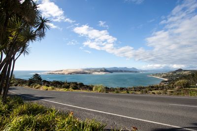
Hokianga Harbour, Natural harbour and estuary in Far North District, New Zealand

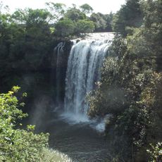
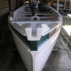
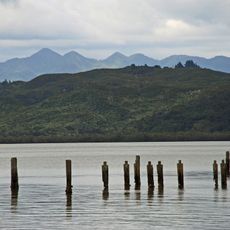
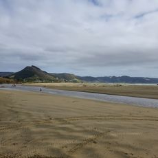
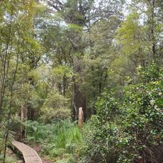
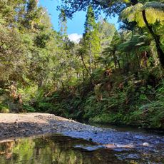
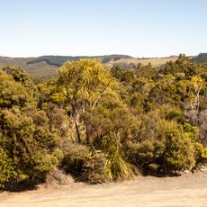
Hokianga Harbour is a natural harbour and estuary in the Far North District that extends far inland, featuring steep hillsides, extensive sand dunes, and multiple waterways. The landscape shows a mix of forested slopes and open water where small boats can navigate.

According to local tradition, the area was first settled by navigator Kupe around 925 AD and remained a Maori homeland for centuries. The first European ship arrived in 1822, launching timber extraction that gradually transformed the region into a major trading hub.

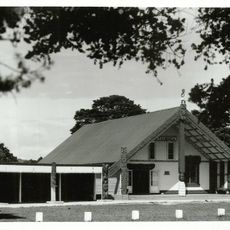
The name Te Hokianga-nui-a-Kupe comes from Maori language and honors the legendary navigator Kupe, who according to local tradition was the first to settle in this area. The place remains spiritually and historically important to Maori people today.

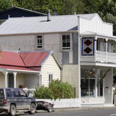
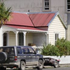
Access is easiest through the coastal towns of Opononi and Omapere, which provide accommodation and boat ramp facilities for visitors. Weather here changes quickly, so plan for varying conditions and choose warmer months for the most comfortable visit.

Around 12,000 years ago this was a river valley that transformed into a saltwater bay as sea levels rose after the last ice age. This geological history completely shaped the harbour's character and form.

The community of curious travelers

AroundUs brings together thousands of curated places, local tips, and hidden gems, enriched daily by 60,000 contributors worldwide.

Start exploring
Elevation above the sea
15 m
GPS coordinates
-35.41700,173.42000
Latest update
December 7, 2025 19:26
Reviews
Share your experience

No review yet

Discussions
Start a discussion...

No discussion yet

« Hokianga Harbour - Natural harbour and estuary in Far North District, New Zealand » is provided by Around Us (aroundus.com). Images and texts are derived from Wikimedia project under a Creative Commons license. You are allowed to copy, distribute, and modify copies of this page, under the conditions set by the license, as long as this note is clearly visible.

Discover hidden gems everywhere you go!

From secret cafés to breathtaking viewpoints, skip the crowded tourist spots and find places that match your style. Our app makes it easy with voice search, smart filtering, route optimization, and insider tips from travelers worldwide. Download now for the complete mobile experience.

Around Us App Screenshot

A unique approach to discovering new places

Le Figaro

All the places worth exploring

France Info

A tailor-made excursion in just a few clicks

20 Minutes

Around Us
Travel Guide & Maps
Download

Send to your phone

QR Code
1

Open the camera app on your mobile.

2

Point at the QR code with your camera. A notification will appear.

3

Tap the notification to open the link.