Ruapekapeka, Māori pā battle site in Northland, New Zealand
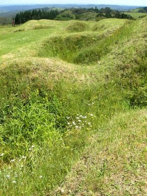
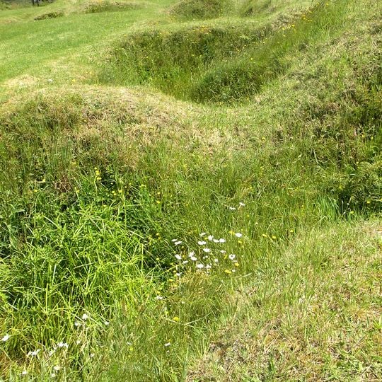
Ruapekapeka is a pā 20 kilometres southeast of Kawakawa, built in 1845 with palisades of pūriri logs up to 3 metres high, front and rear trenches, and flax-covered outer walls. Its name refers to the pihareinga, deep dugouts with narrow circular entrances that sheltered 15 to 20 people during bombardment. A 5-metre well was dug into sandstone at the rear.
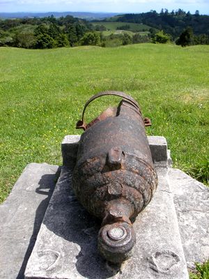
Ruapekapeka pā was built in 1845 by Te Ruki Kawiti and allies including Mataroria and Motiti as a gunfighter pā, improving on the design used at Ōhaeawai. British forces under Lieutenant Colonel Henry Despard began bombarding it on 27 December 1845, after a two-week advance to bring artillery within range. The siege lasted into mid-January 1846 and ended the fighting of the Flagstaff War in the Bay of Islands.
The name comes from the Māori language and means 'bat's nest,' referring to the underground shelters built into the fortification. You can see how these hidden spaces were woven into the overall design, reflecting the ingenuity of those who built them.
The site is accessible via walking paths maintained by the Department of Conservation, which guide you through the different areas. Information panels along the way explain the military positions and how the fortification was built.
The pā's name comes from its rua, or dugouts: narrow circular entrances above bomb-proof shelters that resembled calabashes buried with the narrow end uppermost. Each could hold 15 to 20 people, and a well about 5 metres deep was dug into sandstone at the rear to supply water during the expected siege.
The community of curious travelers
AroundUs brings together thousands of curated places, local tips, and hidden gems, enriched daily by 93,502 contributors worldwide.