Mount Manaia, Mountain summit in Whangarei Heads, New Zealand
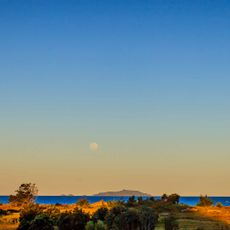
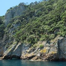
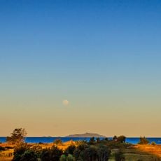
Mount Manaia is a 420-metre andesite peak on the Whangārei Heads peninsula, about 30 km southeast of Whangārei. It is one of the eroded remnants of a 50 km² stratovolcano that erupted 16 to 22 million years ago. Its jagged outline rises above native bush, and the summit looks over Whangārei Harbour, Bream Bay and the Poor Knights Islands.
Mount Manaia is the eroded core of an andesite volcanic intrusion that erupted 16 to 22 million years ago in the early Miocene. It belongs to a group with Mount Lion, Bream Head and the Hen and Chicken Islands, remnants of a 50 km2 stratovolcano that once extended to the Hen and Chickens. Its jagged outline matches those neighbouring volcanic outcrops of Northland.
The name Manaia refers to a carved figure with a bird's head and human body in Māori carving. The summit is a tihi, a high point in the Ngātiwai rohe, and the 1½-hour track climbs through native bush to the jagged andesite bluffs. The reserve is managed by the Department of Conservation.
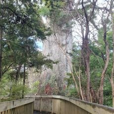
The summit track is a maintained Department of Conservation route that takes about 1½ hours to climb, passing wooden steps and gravel paths through native bush. The upper section is steep, so allow time for the descent and carry water; the summit is exposed in bad weather.
Mount Manaia is one of several andesite volcanic intrusions, along with Mount Lion, Bream Head and the Hen and Chicken Islands, that erupted 16 to 22 million years ago in the early Miocene. They are remnants of a single 50 km2 stratovolcano that once extended as far as the Hen and Chickens.
The community of curious travelers
AroundUs brings together thousands of curated places, local tips, and hidden gems, enriched daily by 93,471 contributors worldwide.