
Church, church building in Whangarei Heads, New Zealand
Location: Whangarei District
Address: Stuart Road and Whangarei Heads Road, McLeod Bay, Whangarei Heads
GPS coordinates: -35.81576,174.50446
Latest update: April 22, 2025 03:54
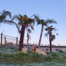
Kamo Wildlife Sanctuary
29.5 km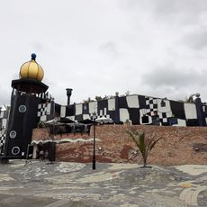
Hundertwasser Art Centre
19.1 km
Mount Manaia
1.2 km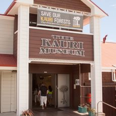
Kauri Museum
45.3 km
Uretiti Beach
16.2 km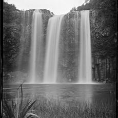
Whangārei Falls
21.1 km
Meeresschutzgebiet Arme-Ritter-Inseln
33.2 km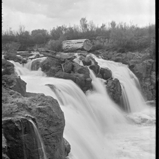
Taheke Waterfalls
17.2 km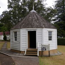
Oruaiti Chapel
22.8 km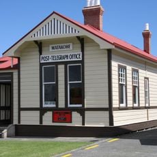
Matakohe Post Office
45.3 km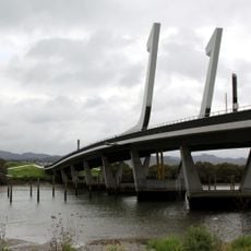
Te Matau ā Pohe
17.7 km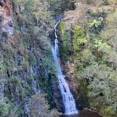
Paranui Falls
19.9 km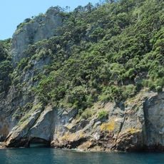
Poor Knights Islands Nature Reserve
43 km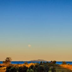
Hen & Chicken Islands Nature Reserve
13.8 km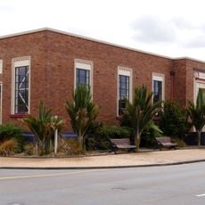
Whangārei Central Library
19.7 km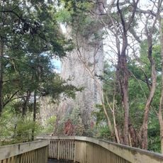
Tāne Moana
23.5 km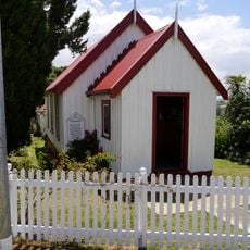
Matakohe Church Hall
45.2 km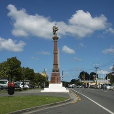
Nova Scotian Settlers Memorial
19.5 km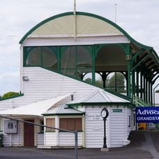
Kensington Park Grandstand
21.1 km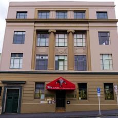
Public Trust Office
19.6 km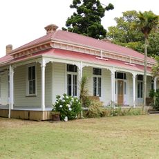
Clarke Homestead
22.5 km
Whangarei Central Library
19.7 km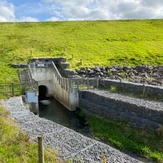
Hopua te Nihotetea dam
20.6 km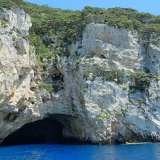
Rikoriko Cave
42.6 km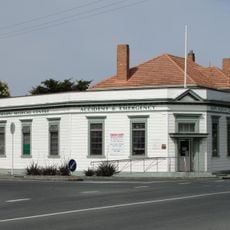
National Bank
19.5 km
Butter Factory
19.6 km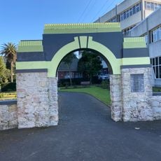
Hugh Crawford memorial gate
19.6 km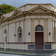
National Bank, Paparoa
40.1 kmVisited this place? Tap the stars to rate it and share your experience / photos with the community! Try now! You can cancel it anytime.
Discover hidden gems everywhere you go!
From secret cafés to breathtaking viewpoints, skip the crowded tourist spots and find places that match your style. Our app makes it easy with voice search, smart filtering, route optimization, and insider tips from travelers worldwide. Download now for the complete mobile experience.

A unique approach to discovering new places❞
— Le Figaro
All the places worth exploring❞
— France Info
A tailor-made excursion in just a few clicks❞
— 20 Minutes