
Ruins, house in Paihia, New Zealand
Location: Far North District
Address: Williams Road, Paihia
GPS coordinates: -35.28215,174.09148
Latest update: March 26, 2025 06:42
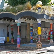
Hundertwasser Toilets
11.1 km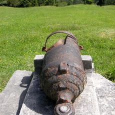
Ruapekapeka
20 km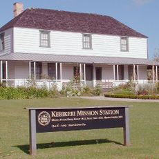
Kerikeri Mission House
13.8 km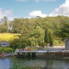
Stone Store
13.7 km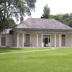
Treaty House
2 km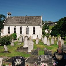
Christ Church, Russell
3.6 km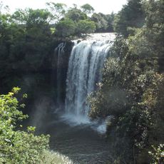
Rainbow Falls
15.5 km
Pompallier House
3.4 km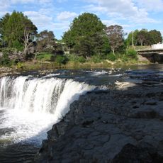
Haruru Falls
3.7 km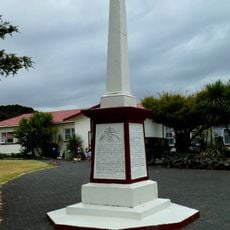
Waitangi Treaty Monument
1.4 km
Church of St John the Baptist
20 km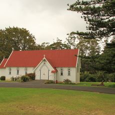
St. James Church, Kerikeri
13.8 km
Waitangi Treaty Grounds historic precinct
1.5 km
Wharepoke Falls
14.6 km
Putahataha Island
20.8 km
Waitangi Treaty Grounds
2 km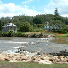
Kerikeri Basin historic precinct
13.3 km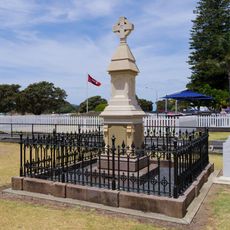
Henry Williams Memorial
289 m
Customhouse
3.6 km
Hobson Beach
1.9 km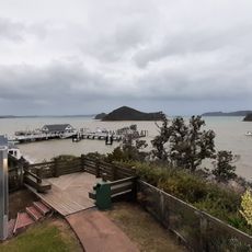
Maiki o Manukaihuia
164 m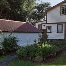
Mary Williams Garden
13 m
Long Beach
4.6 km
Russell Museum
3.5 km
Russell Forest
18.3 km
Otiria Marae
15.2 km
Paihia Library
24 m
Te Waimate Mission House
19.9 kmReviews
Visited this place? Tap the stars to rate it and share your experience / photos with the community! Try now! You can cancel it anytime.
Discover hidden gems everywhere you go!
From secret cafés to breathtaking viewpoints, skip the crowded tourist spots and find places that match your style. Our app makes it easy with voice search, smart filtering, route optimization, and insider tips from travelers worldwide. Download now for the complete mobile experience.

A unique approach to discovering new places❞
— Le Figaro
All the places worth exploring❞
— France Info
A tailor-made excursion in just a few clicks❞
— 20 Minutes