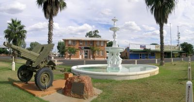
Cunnamulla, Administrative center in Queensland, Australia.
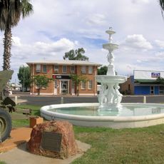
Cunnamulla is an administrative center in Queensland that sits along the Warrego River at the junction of Mitchell and Balonne Highways. The town lies approximately 750 kilometers west of Brisbane in flat, open outback country.
European settlement started in 1861 when Alexander Keith Collins led an expedition that brought pastoral stations to the region. Early growth was driven by livestock farming, which became the foundation of the developing community.
The name comes from an Aboriginal word for a deep waterhole in the Warrego River, keeping Indigenous language alive in the landscape. Local stories and artworks throughout the town reflect this connection to the land and its original inhabitants.
The place functions as a regional hub for cattle, sheep, and goat farming, with additional support from tourism and opal mining. Visitors will find shops, cafes, and accommodations to serve as a base for exploring the surrounding region.
A statue outside the shire hall depicts a bushman wearing a wide-brimmed hat holding a mug of tea, representing local folklore. The artwork was created in 2005 and has become a familiar landmark for both visitors and locals.
Location: Shire of Paroo
Location: Queensland
Shares border with: Eulo, Humeburn, Cuttaburra, Linden, Coongoola, Tuen, Widgeegoara
GPS coordinates: -28.06667,145.68333
Latest update: December 7, 2025 10:04
Koroit opal field
62 km
Currawinya National Park
142.5 km
Hotel Corones
193.3 km
Tregole National Park
223.1 km
The Robbers Tree
832 m
Lake Bindegolly National Park
146.5 km
Culgoa Floodplain National Park
139.9 km
Culgoa National Park
164.5 km
Royal Mail Hotel
162.1 km
Angellala Rail Bridge
219.2 km
Narkoola National Park
131.2 km
Bourke Post Office
226.5 km
St Ignatius Roman Catholic Church and Convent, Bourke
226.3 km
Zero Obelisk
103.8 km
Landsborough's Blazed Tree
161.8 km
Cunnamulla War Memorial Fountain
145 m
Landsborough's Blazed Tree (Camp 67)
182.6 km
Myendetta Homestead
170.4 km
Bourke Court House
226.6 km
Charleville War Memorial
193.2 km
Paroo Shire Honour Board
432 m
Ardsilla
226.9 km
Old London Bank Building
226.5 km
Towers Drug Company Building
226.5 km
Queensland National Bank, Charleville
193.5 km
Binya National Park
87.3 km
Matilda the Kangaroo
193.2 km
Old Thargomindah Hospital
182.6 kmVisited this place? Tap the stars to rate it and share your experience / photos with the community! Try now! You can cancel it anytime.
Discover hidden gems everywhere you go!
From secret cafés to breathtaking viewpoints, skip the crowded tourist spots and find places that match your style. Our app makes it easy with voice search, smart filtering, route optimization, and insider tips from travelers worldwide. Download now for the complete mobile experience.
A unique approach to discovering new places❞
— Le Figaro
All the places worth exploring❞
— France Info
A tailor-made excursion in just a few clicks❞
— 20 Minutes