Enable Location

We need your location to show you interesting places around you

Discover nearby places

Find interesting locations and hidden gems around you

Precise directions

Get accurate directions and distances to places

Your location is never shared with other users. It's only used when you tap the location button.

Parkes

Log in to your account

Start exploring — it's free

Trusted by 61,977 travelers worldwide

Continue with Google
Continue with Apple
or

We will send you a code to connect

By continuing, you accept our Terms and Conditions and our Privacy Policy

Check your inbox

We've sent a pincode in your inbox. Please enter the code below.

Parkes, Administrative division in New South Wales, Australia.

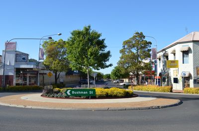
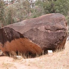
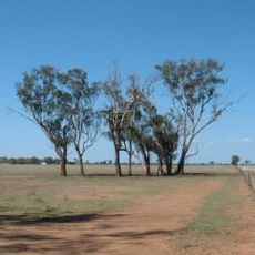
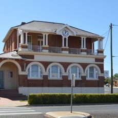
Parkes is an electoral division in New South Wales, Australia, covering a large rural area with multiple towns and local administrative centers. The region consists of farmland, small communities, and open landscape spread across the inland country.

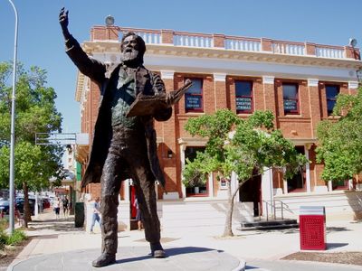
The electoral division was established in 1901 and named after Sir Henry Parkes, a founding figure in Australian federation. Regional boundaries have been adjusted over the decades to reflect population changes and shifting needs.

The area maintains strong ties to farming and rural life, which show in local markets, craft production, and community gatherings throughout the year. These living traditions shape how residents connect with the land and each other.

The area is spread out and best explored by car, as distances between towns are considerable. Main services and facilities are found in town centers, so planning stops ahead of time is helpful.

The region hosts the Parkes Shire Elvis Festival, a notable annual event that draws thousands of music fans from around the country. The festival reveals the creative energy and unexpected cultural life in this remote area.

The community of curious travelers

AroundUs brings together thousands of curated places, local tips, and hidden gems, enriched daily by 60,000 contributors worldwide.

Start exploring
Location
Location
Location
Elevation above the sea
324 m
Shares border with
Manildra, Mandagery, Bocobra, Gunningbland, Cooks Myalls, Goonumbla, Nelungaloo, Alectown, Baldry, Daroobalgie, Cookamidgera, Tichborne
GPS coordinates
-33.09500,148.26278
Latest update
December 17, 2025 10:24
« Parkes - Administrative division in New South Wales, Australia » is provided by Around Us (aroundus.com). Images and texts are derived from Wikimedia project under a Creative Commons license. You are allowed to copy, distribute, and modify copies of this page, under the conditions set by the license, as long as this note is clearly visible.

Discover hidden gems everywhere you go!

From secret cafés to breathtaking viewpoints, skip the crowded tourist spots and find places that match your style. Our app makes it easy with voice search, smart filtering, route optimization, and insider tips from travelers worldwide. Download now for the complete mobile experience.

Around Us App Screenshot

A unique approach to discovering new places

Le Figaro

All the places worth exploring

France Info

A tailor-made excursion in just a few clicks

20 Minutes

Around Us
Travel Guide & Maps
Download

Send to your phone

QR Code
1

Open the camera app on your mobile.

2

Point at the QR code with your camera. A notification will appear.

3

Tap the notification to open the link.