
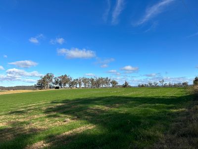
Greendale, suburb of Sydney, New South Wales, Australia
Location: New South Wales
Location: City of Liverpool
Location: City of Liverpool
Location: Bringelly
Inception: 1858
GPS coordinates: -33.91500,150.66778
Latest update: April 17, 2025 03:29
Kelvin
6.6 km
Bringelly Vineyard Church
7.4 km
38 Greendale Road, Wallacia
5.6 km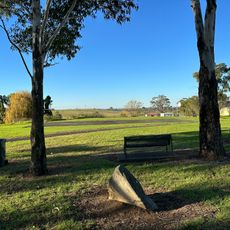
Willmington Reserve
4.4 km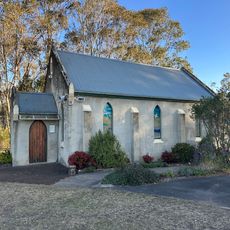
Luddenham Uniting Church
4.3 km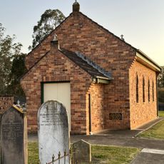
St Francis Xavier Church and Cemetery
1.4 km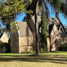
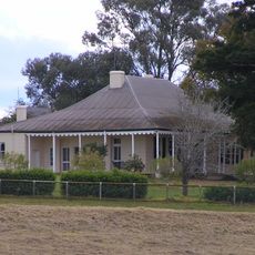
Former St Mark's Anglican Church Group, Greendale
1.7 km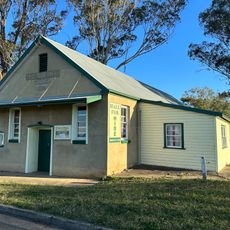
Luddenham Progress Hall
4.3 km
Bringelly Public School
6.4 km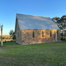
St James Anglican Church
4.2 km
Sasanadhaja Monastery
3.3 km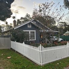
Mulgoa Road Conservation Area
6.2 km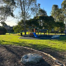
Freeburn Park
4.5 km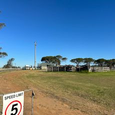
Luddenham Showgrounds
4.8 km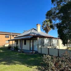
61 Willmington Road, Luddenham
4.4 km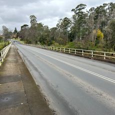
Nepean River Bridge
6.2 km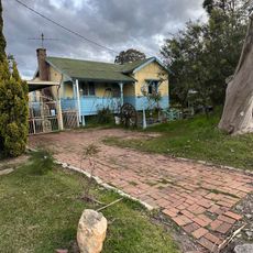
Park Road Conservation Area
5.9 km
1-9 Park Road, Wallacia
6.1 km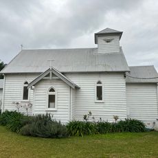
Wallacia Christian Community Church
5.9 km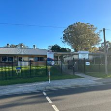
Luddenham Public School
4.3 km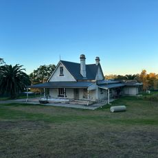
96-100 Greendale Road, Wallacia
5.1 km
Bringelly Recreation Reserve
6.5 km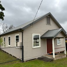
Wallacia Village Progress Hall
5.6 km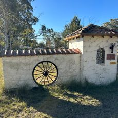
Zambi Wildlife Retreat
5 km
Australian Free Church of Tonga
2.1 km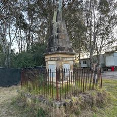
Shadforth Monument
1.8 km
Fowler Reserve
6.1 km
SP1134
5.9 kmReviews
Visited this place? Tap the stars to rate it and share your experience / photos with the community! Try now! You can cancel it anytime.
Discover hidden gems everywhere you go!
From secret cafés to breathtaking viewpoints, skip the crowded tourist spots and find places that match your style. Our app makes it easy with voice search, smart filtering, route optimization, and insider tips from travelers worldwide. Download now for the complete mobile experience.

A unique approach to discovering new places❞
— Le Figaro
All the places worth exploring❞
— France Info
A tailor-made excursion in just a few clicks❞
— 20 Minutes