
West Hoxton, locality in New South Wales, Australia
Location: Liverpool City Council
GPS coordinates: -33.93167,150.83444
Latest update: April 17, 2025 07:03

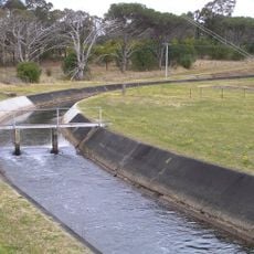
Upper Canal System
1.9 km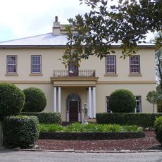
Horningsea Park
2.2 km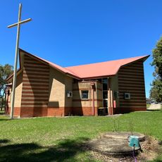
St. Anthony's Catholic Church
2.1 km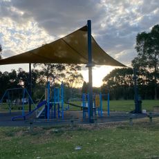
Poole Street Reserve
1.1 km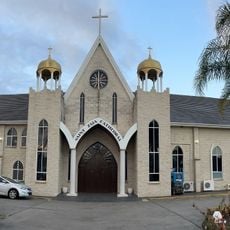
St Zaia Cathedral
2.2 km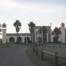
Sydney Trash & Treasure Bazaar
2.3 km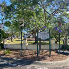
Peppercorn Place
1.8 km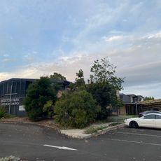
Hoxton Park Anglican Church
1.1 km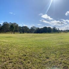
Puntillo Park
1.4 km
Middleton Drive bridge
2.3 km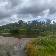
Badu Lake
447 m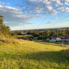
Mero's Reserve
926 m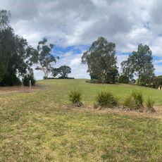
Puntillo Park
1 km
Carnes Hill Community and Recreation Precinct
1.1 km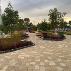
Cirillo Reserve
2.2 km
Stante Reserve
2 km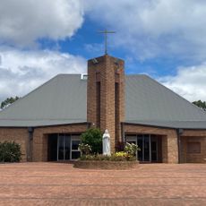
Holy Spirit Catholic Church Carnes Hill
1.1 km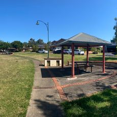
Ayshford Reserve
884 m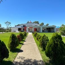
Shree Ram Krishna Temple
1.6 km
Cabrogal Reserve
2.5 km
Lyons Park
2.1 km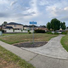
Glendevie Park
671 m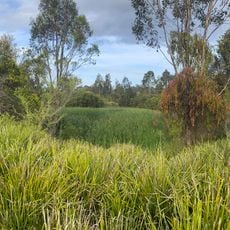
Kittyhawk Park
2.1 km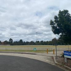
Brownes Farm Reserve
2.4 km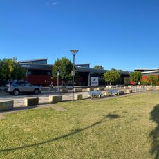
Carnes Hill Library
1.1 km
Alex Grimson Reserve
1.7 km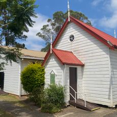
Liverpool Baptist Church
920 m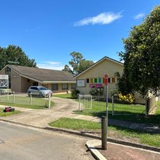
Austral Church of Christ
2.1 kmReviews
Visited this place? Tap the stars to rate it and share your experience / photos with the community! Try now! You can cancel it anytime.
Discover hidden gems everywhere you go!
From secret cafés to breathtaking viewpoints, skip the crowded tourist spots and find places that match your style. Our app makes it easy with voice search, smart filtering, route optimization, and insider tips from travelers worldwide. Download now for the complete mobile experience.

A unique approach to discovering new places❞
— Le Figaro
All the places worth exploring❞
— France Info
A tailor-made excursion in just a few clicks❞
— 20 Minutes