Barangaroo

Log in to your account

AroundUs is a community-driven map of interesting places, built by curious explorers like you. It grows with every review, story, and photo you share.
Connect to save your favorite spots, contribute locations, and create personalized routes.
Continue with Google
Continue with Apple
Continue with X
Continue with Facebook
Continue with email
By continuing, you accept our Terms and Conditions and our Privacy Policy
Create an account
Add to collection
Map
Suggest a change
Share

Barangaroo, Urban administrative district in Sydney, Australia.

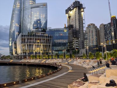
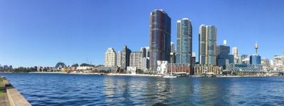
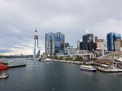
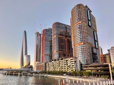
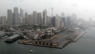
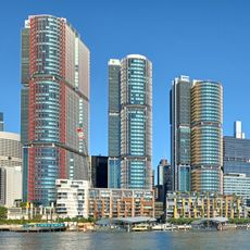
Barangaroo is a contemporary waterfront district on Sydney's northwestern edge, stretching from the harbor to the southern end of Sydney Harbour Bridge. It combines office towers, residential buildings, and a substantial public park with direct access to the water.

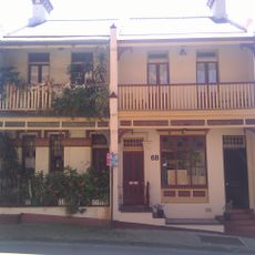
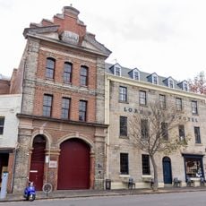
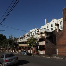
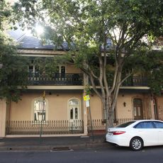
The area served as a major port and shipbuilding operation from the 1800s through the 1980s, handling wool and bulk goods for export. A comprehensive redevelopment in the early 2000s closed the working docks and transformed it into the mixed-use district we see today.

The area is named after an Eora leader, honoring the Indigenous people who lived here long before European settlement. Today, public art and informational displays throughout the neighborhood reflect this connection and its ongoing importance to the community.

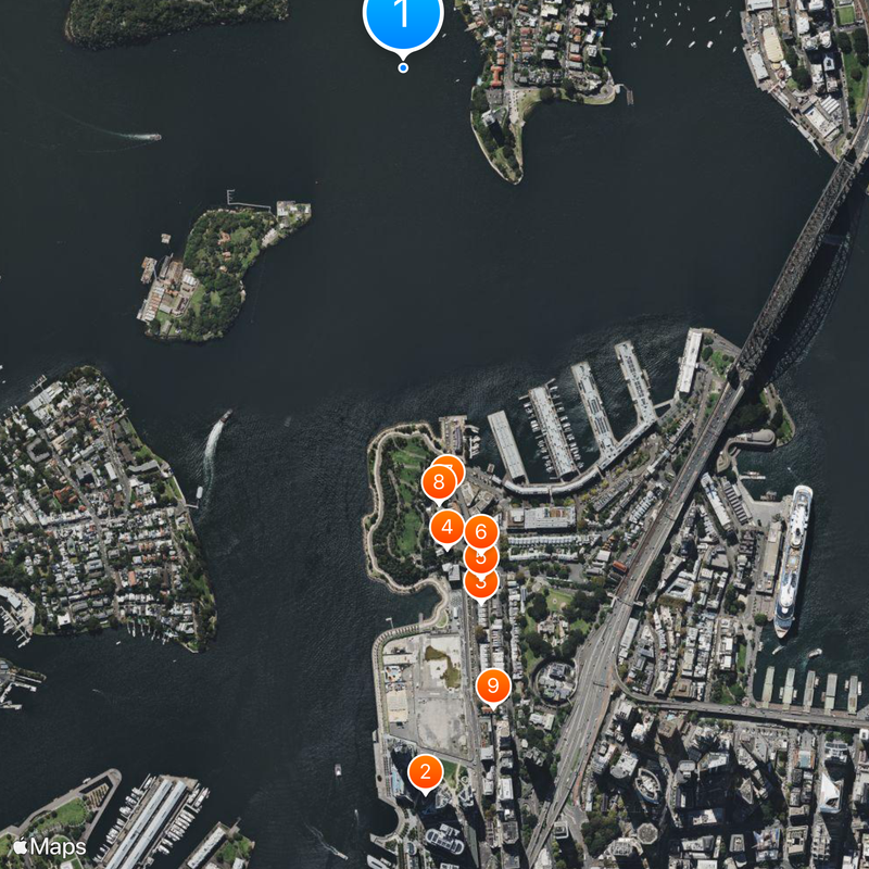
The area is accessible by ferry at the Barangaroo wharf, by bus, and on foot through Wynyard Walk; a new metro station is planned to open soon. Daytime visits work best when shops, restaurants, and the public park are fully open and active.

Beneath the new development lie shell middens and rock carvings dating back 6,000 years, evidence of how long the Eora people used this location. These archaeological remains were discovered and partially preserved during the redevelopment to protect the early heritage of the site.

Location: New South Wales

Location: City of Sydney

Location: St Philip

Inception: 2007

Shares border with: Millers Point, Sydney

Website: http://barangaroo.com

GPS coordinates: -33.84833,151.20111

Latest update: December 14, 2025 20:58

Photos
Reviews

Visited this place? Tap the stars to rate it and share your experience / photos with the community! Try now! You can cancel it anytime.

« Barangaroo - Urban administrative district in Sydney, Australia » is provided by Around Us (aroundus.com). Images and texts are derived from Wikimedia project under a Creative Commons license. You are allowed to copy, distribute, and modify copies of this page, under the conditions set by the license, as long as this note is clearly visible.

Discover hidden gems everywhere you go!

From secret cafés to breathtaking viewpoints, skip the crowded tourist spots and find places that match your style. Our app makes it easy with voice search, smart filtering, route optimization, and insider tips from travelers worldwide. Download now for the complete mobile experience.

Around Us App Screenshot

A unique approach to discovering new places

Le Figaro

All the places worth exploring

France Info

A tailor-made excursion in just a few clicks

20 Minutes