
Colo Heights, locality in New South Wales, Australia
Location: Hawkesbury City Council
GPS coordinates: -33.36500,150.71778
Latest update: April 5, 2025 18:09
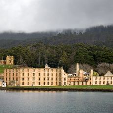
Australian Convict Sites
25.8 km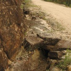
Great North Road
25.7 km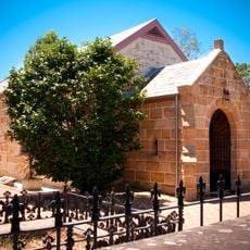
Ebenezer Church
25 km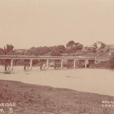
Windsor Bridge
28.2 km
Australiana Pioneer Village
25.2 km
Mount Yengo
44.2 km
Dharug National Park
32.3 km
Bird In The Hand Inn
27.9 km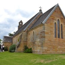
St John's Anglican Church and Macquarie Schoolhouse
24.2 km
Toxana
26.1 km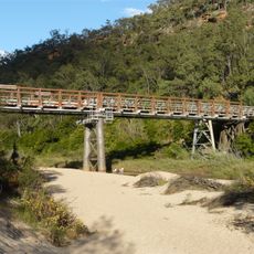
MacDonald River bridge, St Albans
25 km
Cattai Estate
26.6 km
Thompson Square Conservation Area
28.4 km
Loder House
28.5 km
McQuade Park
28.5 km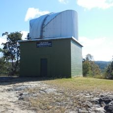
Crago Observatory
23.9 km
Bowman House, Richmond
25.7 km
Mountain View, Richmond
26.2 km
Allison's Pharmacy
25.9 km
126 Windsor Street, Richmond
26.3 km
Windsor Uniting Church and Hall
28.6 km
5 Thompson Square, Windsor
28.4 km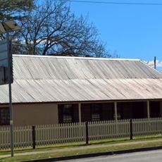
New Inn, Richmond
26 km
Clear Oaks
25.6 km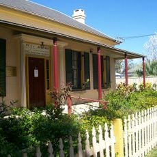
Seymours House
25.9 km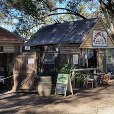
The Australiana Pioneer Village Ltd
25.1 km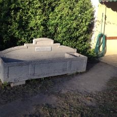
Horse trough
27.9 km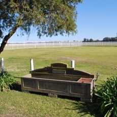
Horse trough
28.1 kmReviews
Visited this place? Tap the stars to rate it and share your experience / photos with the community! Try now! You can cancel it anytime.
Discover hidden gems everywhere you go!
From secret cafés to breathtaking viewpoints, skip the crowded tourist spots and find places that match your style. Our app makes it easy with voice search, smart filtering, route optimization, and insider tips from travelers worldwide. Download now for the complete mobile experience.

A unique approach to discovering new places❞
— Le Figaro
All the places worth exploring❞
— France Info
A tailor-made excursion in just a few clicks❞
— 20 Minutes