Castle Hill, Suburban district in The Hills Shire Council, Australia
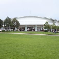
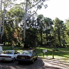
Castle Hill is a suburban district located northwest of Sydney, stretching across residential neighborhoods, shopping centers, and parks. The area serves as a family-oriented community with mixed housing types and local amenities spread throughout its neighborhoods.
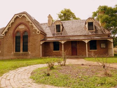
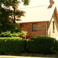
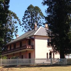
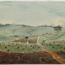
Castle Hill was established in 1801 when Governor King founded the Third Government Farm, marking the beginning of European settlement here. The area later became significant as a rural region and gradually transformed into a suburban community supporting the growing population west of Sydney.
Castle Hill is a suburb with rural heritage roots, visible in the annual Agricultural Show that draws the community together to celebrate farming traditions. Though the area has transformed into a modern residential zone, these agricultural connections remain part of local identity.
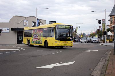
The area is well served by the Sydney Metro Northwest and regular bus routes running through the district. Most neighborhoods are easily walkable, and shopping centers serve as natural gathering points that help visitors navigate the community.
Few people know that this area was the site of a convict rebellion in 1804, one of the earliest acts of resistance against colonial authority in Australia. The event remains largely forgotten today, overshadowed by more famous historical moments in Sydney's past.
The community of curious travelers
AroundUs brings together thousands of curated places, local tips, and hidden gems, enriched daily by 60,000 contributors worldwide.