
Norwest, suburb in Sydney, New South Wales
Location: The Hills Shire Council
GPS coordinates: -33.73305,150.96430
Latest update: June 5, 2025 16:55
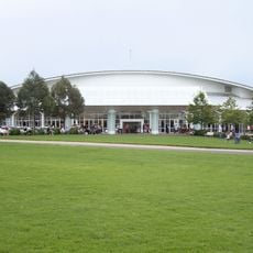
Hillsong Church
351 m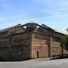
Parramatta Correctional Centre
8.1 km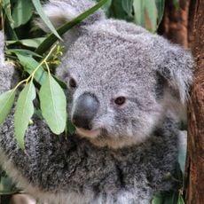
Featherdale Wildlife Park
8.3 km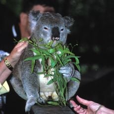
Koala Park Sanctuary
7.5 km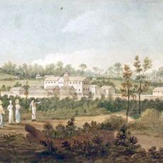
Parramatta Female Factory
8.2 km
Parramatta Park
8.9 km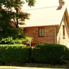
St Paul's Anglican Church, Castle Hill
5.1 km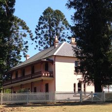
Bella Vista (homestead)
1.3 km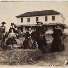
Rouse Hill House
8.3 km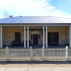
Royal Oak Inn, Rouse Hill
6.6 km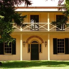
Redeemer Baptist Church
8.4 km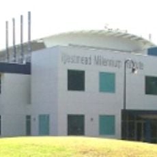
Westmead Millennium Institute for Medical Research
8.3 km
Cumberland State Forest
7 km
Roseneath Cottage
9 km
St Patricks Cemetery, Parramatta
8.1 km
Merriville House and Gardens
5.5 km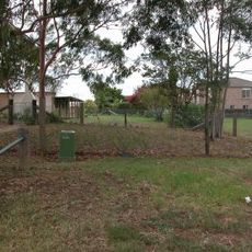
Exeter Farm
3 km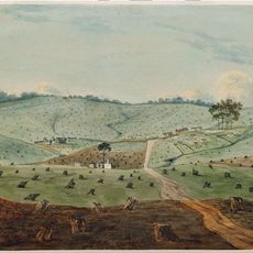
Third Government Farm
4.8 km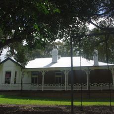
Grantham Poultry Research Station
6.2 km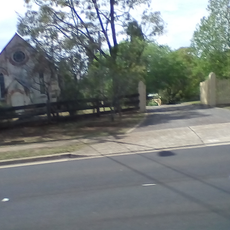
St Andrew's Anglican Church, Seven Hills
3.2 km
Prospect Post Office (frmr)
8.9 km
Oddfellows Arms Inn
8.2 km
Endrim
8.9 km
Avondale, Parramatta
8.8 km
Dayton House, Seven Hills
7 km
West Pennant Hills Sports Club
7.3 km
Powerhouse Castle Hill
1.2 km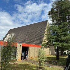
Wentworthville Anglican Church
8.4 kmReviews
Visited this place? Tap the stars to rate it and share your experience / photos with the community! Try now! You can cancel it anytime.
Discover hidden gems everywhere you go!
From secret cafés to breathtaking viewpoints, skip the crowded tourist spots and find places that match your style. Our app makes it easy with voice search, smart filtering, route optimization, and insider tips from travelers worldwide. Download now for the complete mobile experience.

A unique approach to discovering new places❞
— Le Figaro
All the places worth exploring❞
— France Info
A tailor-made excursion in just a few clicks❞
— 20 Minutes