
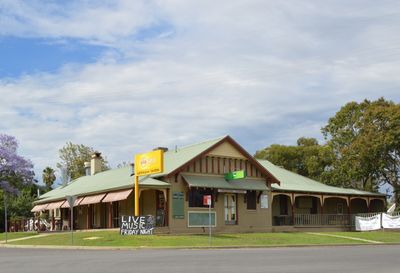
Nemingha, locality in New South Wales, Australia
Location: Tamworth Regional Council
GPS coordinates: -31.12122,150.98888
Latest update: March 7, 2025 22:07
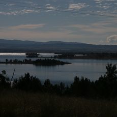
Keepit Dam
53.6 km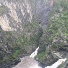
Apsley Falls
74.8 km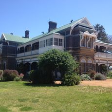
Saumarez Homestead
86.5 km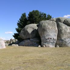
Captain Thunderbolt's Rock
65.7 km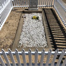
Captain Thunderbolt's Grave
71.9 km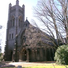
St Peter's Cathedral, Armidale
93.4 km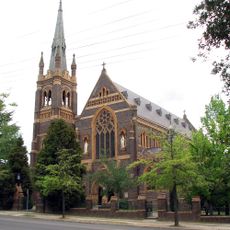
Saints Mary and Joseph Catholic Cathedral
93.3 km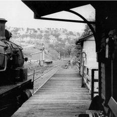
Ardglen Tunnel
71.3 km
Mummel Gulf National Park
84.1 km
Warrabah National Park
63.7 km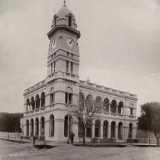
Tamworth Post Office
6.4 km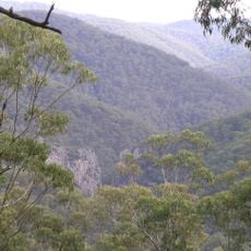
Nowendoc National Park
70.6 km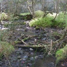
Ben Halls Gap National Park
56.3 km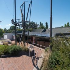
New England Regional Art Museum
92.6 km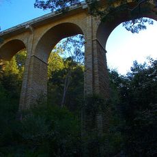
Manilla railway underbridges
61.5 km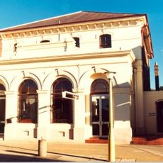
Commercial Bank of Australia Building, Armidale
93.6 km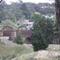
Macdonald River railway bridge, Woolbrook
38.3 km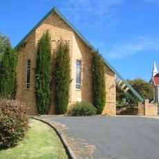
St. Andrew's Anglican Church
59.4 km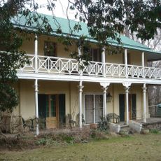
Roseneath, Armidale
91.5 km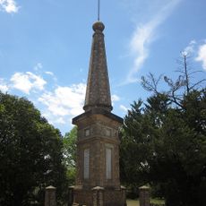
Dangarsleigh War Memorial
88.8 km
Australian Country Music Hall of Fame
5.6 km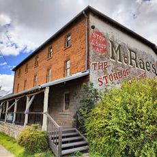
McCrossin's Mill
72.2 km
Tamworth Golf Course
7.9 km
Bobs Shed
53.7 km
Armidale Golf Club
92.3 km
Gunnedah Rural Museum
73.5 km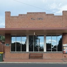
Werris Creek Library
41.2 km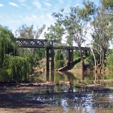
Cohens Bridge
72 kmReviews
Visited this place? Tap the stars to rate it and share your experience / photos with the community! Try now! You can cancel it anytime.
Discover hidden gems everywhere you go!
From secret cafés to breathtaking viewpoints, skip the crowded tourist spots and find places that match your style. Our app makes it easy with voice search, smart filtering, route optimization, and insider tips from travelers worldwide. Download now for the complete mobile experience.

A unique approach to discovering new places❞
— Le Figaro
All the places worth exploring❞
— France Info
A tailor-made excursion in just a few clicks❞
— 20 Minutes