Mummel Gulf National Park, Nature reserve in Walcha Council, Australia.
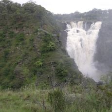
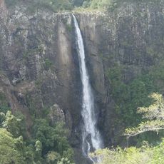
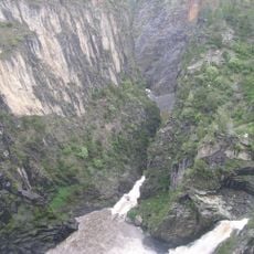
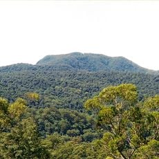
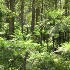
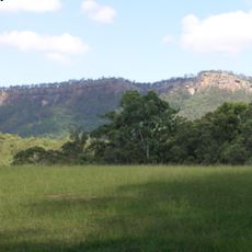
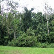
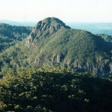
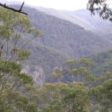
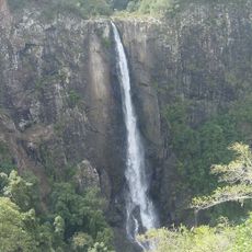
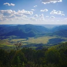
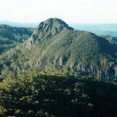
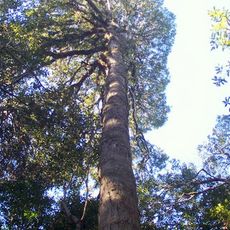
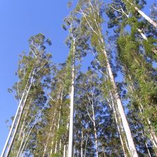
Mummel Gulf National Park covers 14,127 hectares on the south-eastern escarpment of the New England tableland, where the land drops from about 1,450 m to 470 m. The Mummel River has cut a V-shaped gorge more than 400 m deep at its head. Tall open eucalypt forest, wet sclerophyll forest and snow gum stands around Porters Camp grow across the slopes.
The reserve was established in 1999 to protect forest areas that once marked territorial boundaries between different groups. John Oxley explored the region in the early 19th century and documented it for the first time.
The park's name comes from the Mummel River, whose deep V-shaped gorge cuts over 400 metres into the escarpment. The Bicentennial National Trail, first used in the 1970s, follows Mummel Forest Road along the park's eastern edge. In 1992 North-East Forest Alliance protesters camped here against logging and won a delay for a joint study with the Forestry Commission.
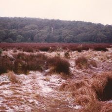
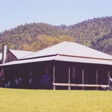
The New Country Swamp camping area offers basic facilities including toilets, picnic tables, and barbecue spots. It sits on a gravel road about 13 kilometers from the Oxley Highway, requiring some driving from the main route.
Broad-leaved pepperbush (Tasmannia purpurascens) reaches its northern limit here, and the park's old-growth messmate forest drops from 1,450 m at Porters Camp to 470 m. A 9.5 km four-wheel-drive track, the Panhandle Fire Trail, runs inside the park.
The community of curious travelers
AroundUs brings together thousands of curated places, local tips, and hidden gems, enriched daily by 94,214 contributors worldwide.