Biriwal Bulga National Park, Nature reserve on Bulga plateau near Port Macquarie, Australia
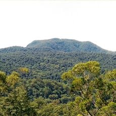
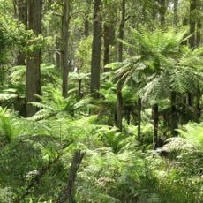
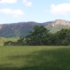
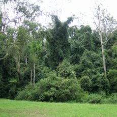
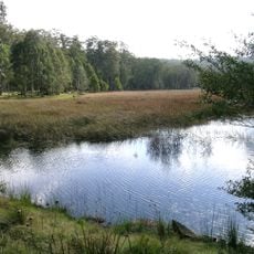
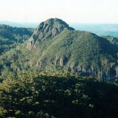
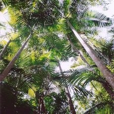
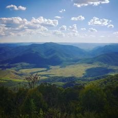
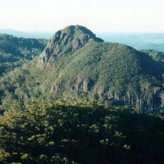
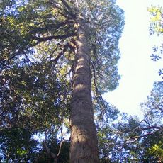
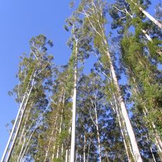
Biriwal Bulga National Park is a 5,813-hectare national park on the northern edge of the Bulga plateau, ranging from 130 to 670 metres above sea level. Its landscape is mostly dissected foothills of mudstone and shale, with dry sclerophyll forest and rainforest remnants; the 37-hectare Weelah Nature Reserve lies in the southeast.
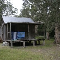
Logging shaped the former Bulga State Forest, which supplied timber in the early 1900s and later held a pine plantation. In 1990 the state government imposed a moratorium on further harvesting, and the area was reclassified as Biriwal Bulga National Park, one of the last parks created in the Port Macquarie region.
The name Biriwal Bulga comes from the Birpai (Biripi) people, who have lived in the area for over 15,000 years and speak the Birpai language; neighbouring tribes speak Gadjang. Campsites and artefacts inside the park show long-term occupation, and nine Aboriginal ceremonial sites are recorded. Truyard Pty. Ltd estimated that 800 to 1,000 Indigenous Australians originally lived in the park and surrounding regions, dispersed in clan groups, the most prominent being the Winmurra.
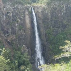
There are no facilities or walking trails inside the park, and its remote location plus lack of access for two-wheel-drive cars keeps visitor numbers low. The nearest recreational facilities are at Tapin Tops National Park and at Ellenborough Falls near Elands. Plan accordingly before setting out.
The park provides habitat for several hundred to around a thousand koalas, making it one of the more important refuges for this vulnerable animal in the region. Seeing evidence of these marsupials in the trees is a memorable part of visiting.
The community of curious travelers
AroundUs brings together thousands of curated places, local tips, and hidden gems, enriched daily by 94,579 contributors worldwide.