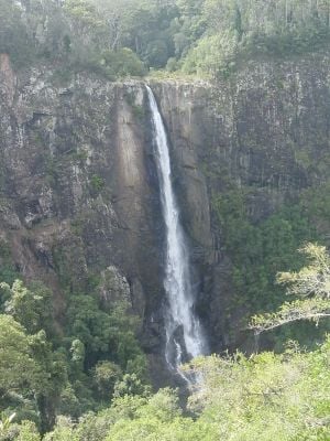
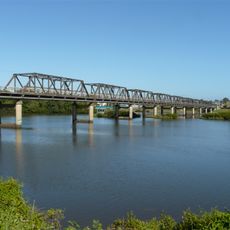
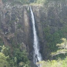
Ellenborough Falls, Single-drop waterfall in Bulga Plateau, Australia.
Ellenborough Falls is a waterfall that drops 160 m from the cliffs of Ellenborough Gorge, creating a powerful stream of water. Multiple viewing platforms let visitors see this flow from different angles, and a natural pool collects at the base.
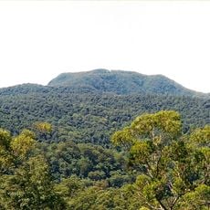
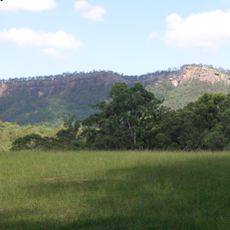
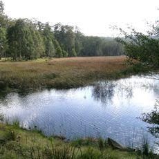
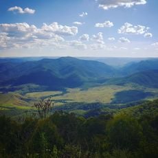
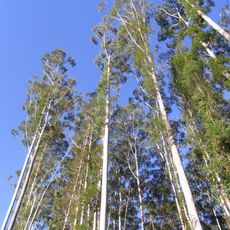
This waterfall formed over millions of years through geological processes that shaped the Bulga Plateau and created the deep Ellenborough River gorge. Water erosion gradually carved out the landscape visitors see today.
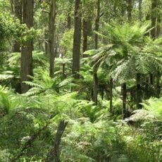
Educational signs at the site explain the natural formation and ecosystems that visitors can observe around them. These markers help people understand the landscape and how water shapes the environment over time.
Four different paths lead to the waterfall, with the most demanding featuring 641 steps down to the base. Sturdy footwear and a moderate level of fitness help, as some routes are steep and require effort.
Water volume shifts dramatically with rainfall patterns, changing how the waterfall looks throughout the year. Heavy rains make it appear more powerful and wider, while dry periods reduce its impact and flow.
Location: New South Wales
Elevation above the sea: 538 m
Height: 160 m
Part of: Ellenborough River
GPS coordinates: -31.61667,152.28333
Latest update: December 9, 2025 18:43
Timbertown
43.9 km
Mount Banda Banda
53 km
Billabong Koala and Wildlife Park
53.9 km
Werrikimbe National Park
45.3 km
Crowdy Bay National Park
43.6 km
Martin Bridge
37.5 km
Bago Bluff National Park
35 km
Cottan-Bimbang National Park
35.3 km
Dooragan National Park
46.1 km
Mummel Gulf National Park
51.8 km
Coorabakh National Park
25.2 km
Crowdy Head Light
51.2 km
Middle Brother National Park
41.7 km
Biriwal Bulga National Park
6.9 km
Woko National Park
52.5 km
St Andrew's Presbyterian Church, Wingham
29.5 km
Wingham Post Office
29.6 km
Big Nellie Mountain
24.5 km
Manning River railway bridge, Taree
31.6 km
Fenwicks Scrub Flora Reserve
39.3 km
National Motorcycle Museum
54.1 km
Kerewong State Forest
27.8 km
Jerrys Creek
38.6 km
Wauchope Library
45.1 km
Brimbin Nature Reserve
29.9 km
Wingham Library
29.5 km
Harrington Public School
47.7 km
Wingham Brush Public School
29.5 kmVisited this place? Tap the stars to rate it and share your experience / photos with the community! Try now! You can cancel it anytime.
Discover hidden gems everywhere you go!
From secret cafés to breathtaking viewpoints, skip the crowded tourist spots and find places that match your style. Our app makes it easy with voice search, smart filtering, route optimization, and insider tips from travelers worldwide. Download now for the complete mobile experience.
A unique approach to discovering new places❞
— Le Figaro
All the places worth exploring❞
— France Info
A tailor-made excursion in just a few clicks❞
— 20 Minutes