Kempsey, Administrative district in New South Wales, Australia
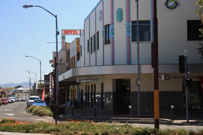
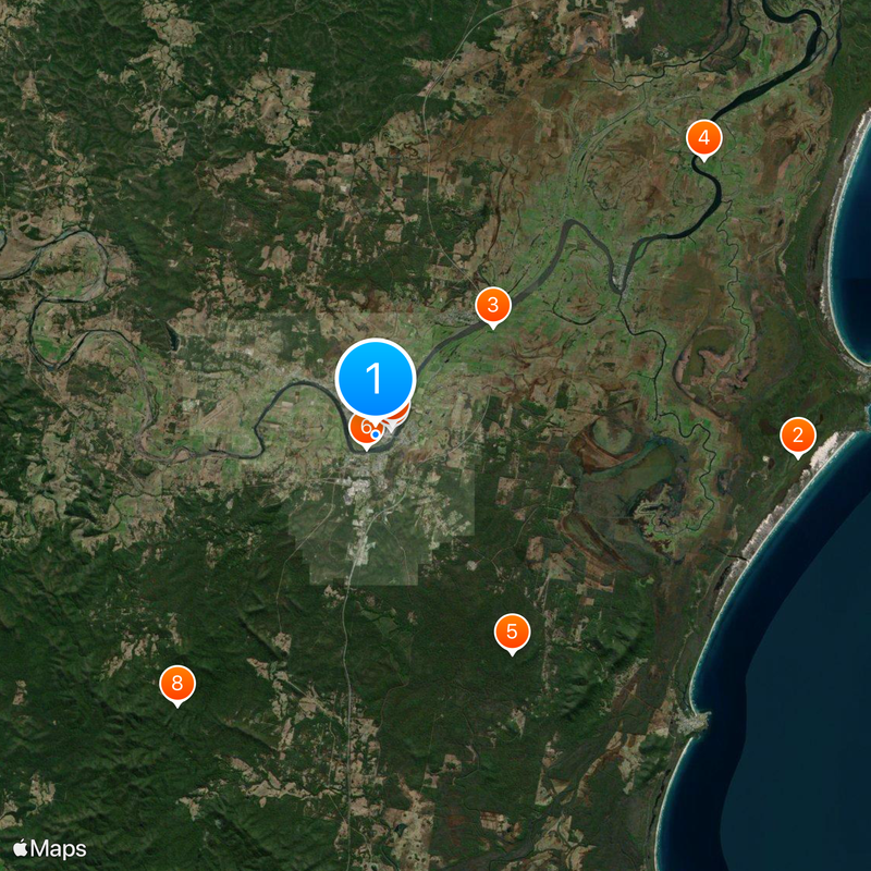
Kempsey is a town situated along the Macleay River in the Mid North Coast region of New South Wales, approximately 16 kilometres inland from the Pacific Ocean. It serves as the administrative center for Kempsey Shire and provides regional services to surrounding communities.
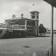
The town was founded in 1836 when Enoch William Rudder purchased land along the river and developed private building blocks. This establishment marked the beginning of European settlement in a region previously inhabited by the Djangadi people.
The Djangadi people maintained a strong presence in this region for over 4,000 years before European settlement began in the nineteenth century.
Visitors can reach the town easily via the Pacific Highway and North Coast railway line, both running through its center. The town has shops, restaurants, and accommodation options mainly concentrated along the main commercial areas and near the river.
The Macleay River runs through the center of Kempsey, intersecting with both the Pacific Highway and the North Coast railway line.
Location: New South Wales
Location: Kempsey Shire
Location: Yarravel
Elevation above the sea: 12 m
Shares border with: West Kempsey, East Kempsey, Hampden Hall, Pola Creek, South Kempsey, Frederickton, Austral Eden
GPS coordinates: -31.08194,152.83500
Latest update: December 7, 2025 09:20
Trial Bay Gaol
32 km
Timbertown
44.8 km
Mount Banda Banda
38.7 km
Hat Head National Park
18 km
Tacking Point Lighthouse
44.9 km
Billabong Koala and Wildlife Park
42 km
Smoky Cape Lighthouse
29.9 km
St Thomas' Anglican Church, Port Macquarie
39.6 km
Willi Willi National Park
36.3 km
Dennis Bridge
36.4 km
Dunggir National Park
50.1 km
Macleay River railway bridge, Kempsey
680 m
Kempsey Post Office
733 m
Port Macquarie First Burying Ground
39.3 km
Yarriabini National Park
34.3 km
Pipers Creek Lime Kilns
14.2 km
Old Port Macquarie Courthouse
39.3 km
Port Macquarie Second Burying Ground
39.9 km
St Andrew's Presbyterian Church and Hall, Kempsey
880 m
Arakoon National Park
31.8 km
Slim Dusty Centre
4.1 km
Nambucca Heads Island Golf Club
49.6 km
Port Macquarie Golf Club
45.7 km
Wauchope Library
43.8 km
Flynn's Beach
41.1 km
Horse trough
1.7 km
North Smoky Beach
30.1 km
O'Connors Beach
21.3 kmReviews
Visited this place? Tap the stars to rate it and share your experience / photos with the community! Try now! You can cancel it anytime.
Discover hidden gems everywhere you go!
From secret cafés to breathtaking viewpoints, skip the crowded tourist spots and find places that match your style. Our app makes it easy with voice search, smart filtering, route optimization, and insider tips from travelers worldwide. Download now for the complete mobile experience.
A unique approach to discovering new places❞
— Le Figaro
All the places worth exploring❞
— France Info
A tailor-made excursion in just a few clicks❞
— 20 Minutes