Enable Location

We need your location to show you interesting places around you

Discover nearby places

Find interesting locations and hidden gems around you

Precise directions

Get accurate directions and distances to places

Your location is never shared with other users. It's only used when you tap the location button.

Inverell

Log in to your account

Start exploring — it's free

Trusted by 68,037 travelers worldwide

Continue with Google
Continue with Apple
or

We will send you a code to connect

By continuing, you accept our Terms and Conditions and our Privacy Policy

Check your inbox

We've sent a pincode in your inbox. Please enter the code below.

Discussion Reviews 2 Photos
25.2k Popularity

Inverell, Administrative center in New England region, New South Wales, Australia

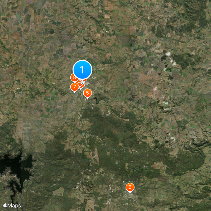
Inverell is a town in the New England region of northern New South Wales, stretching along the Macintyre River. It serves as the administrative center of Inverell Shire and provides schools, shops, and local services for the surrounding community.

The settlement started in 1838 when Peter MacIntyre directed Alexander Campbell to establish farming land for sheep and cattle. Early development was driven by pastoral farming, with the region later becoming known for gemstone mining.

The name comes from Gaelic and means 'meeting place of swans', reflecting early Scottish settlement influence in the region. This Scottish connection remains visible in the town's identity and local traditions today.

The town is easy to navigate with shops, restaurants, and medical services located in the central area. The best time to visit is during warmer months when outdoor activities are more comfortable and the surrounding landscape is greener.

The region has been known for sapphire mining since the early 1900s, shaping the local identity and heritage. This connection to gemstone extraction draws collectors and visitors interested in regional mining history.

The community of curious travelers

AroundUs brings together thousands of curated places, local tips, and hidden gems, enriched daily by 60,000 contributors worldwide.

Start exploring
Location
Location
Location
Elevation above the sea
588 m
Shares border with
Nullamanna, Oakwood, Gum Flat, Rob Roy, Auburn Vale, Long Plain, Brodies Plains, Stannifer, Swanbrook, Gilgai
GPS coordinates
-29.76667,151.11667
Latest update
March 4, 2026 16:16
Reviews
Share your experience

No review yet

Discussions
Start a discussion...

No discussion yet

« Inverell - Administrative center in New England region, New South Wales, Australia » is provided by Around Us (aroundus.com). Images and texts are derived from Wikimedia project under a Creative Commons license. You are allowed to copy, distribute, and modify copies of this page, under the conditions set by the license, as long as this note is clearly visible.

Discover hidden gems everywhere you go!

From secret cafés to breathtaking viewpoints, skip the crowded tourist spots and find places that match your style. Our app makes it easy with voice search, smart filtering, route optimization, and insider tips from travelers worldwide. Download now for the complete mobile experience.

Around Us App Screenshot

A unique approach to discovering new places

Le Figaro

All the places worth exploring

France Info

A tailor-made excursion in just a few clicks

20 Minutes

Around Us
Travel Guide & Maps
Download

Send to your phone

QR Code
1

Open the camera app on your mobile.

2

Point at the QR code with your camera. A notification will appear.

3

Tap the notification to open the link.