
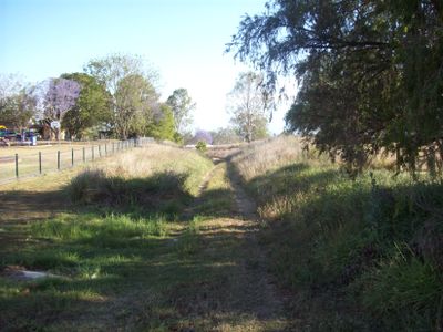
Harrisville, locality in Queensland, Australia
Location: Scenic Rim Regional
GPS coordinates: -27.80981,152.67406
Latest update: March 9, 2025 18:55
Deebing Creek Mission
16.6 km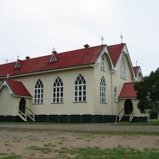
St Brigids Catholic Church, Rosewood
20.4 km
Sadliers Crossing Railway Bridge
22.7 km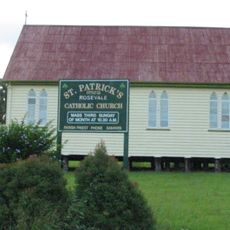
St Patrick's Church, Rosevale
19.7 km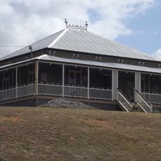
Ozanam House
22.9 km
Franklyn Vale Homestead
22.2 km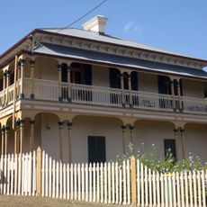
Gooloowan
22.6 km
Briggs Rd Sporting Complex
20.8 km
Purga Aboriginal Cemetery
12.6 km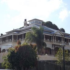
Fairy Knoll
22.5 km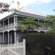
Central Congregational Church Manse
22.6 km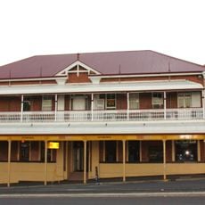
City View Hotel
22.9 km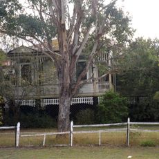
Glendalough, Rosewood
21.3 km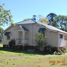
Fassifern Homestead
18.3 km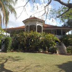
Ipswich Club House
22.7 km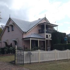
Toronto, Ipswich
22.6 km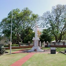
Boonah War Memorial
20.9 km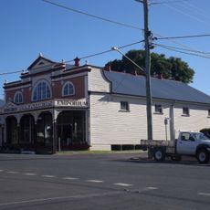
Wiss Brothers Store
15.2 km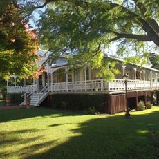
Wiss House
15.4 km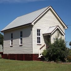
Purga United Church
12.3 km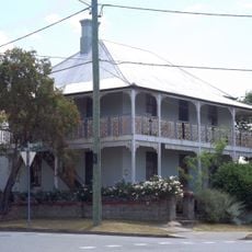
William Berry residence
22.9 km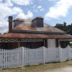
Notnel
22.9 km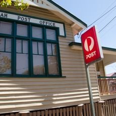
Boonah Post Office
20.9 km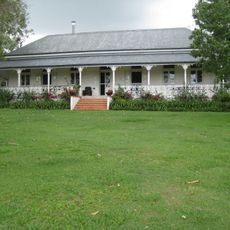
Normanby Homestead
5.5 km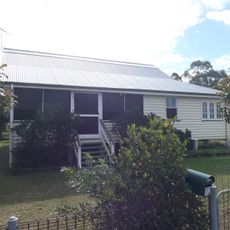
Rosewood Courthouse
20.3 km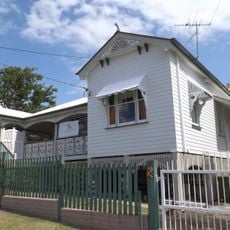
Idavine
22.9 km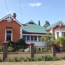
To-Me-Ree
22.4 km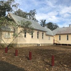
Category:Harrisville Uniting Church
648 mVisited this place? Tap the stars to rate it and share your experience / photos with the community! Try now! You can cancel it anytime.
Discover hidden gems everywhere you go!
From secret cafés to breathtaking viewpoints, skip the crowded tourist spots and find places that match your style. Our app makes it easy with voice search, smart filtering, route optimization, and insider tips from travelers worldwide. Download now for the complete mobile experience.

A unique approach to discovering new places❞
— Le Figaro
All the places worth exploring❞
— France Info
A tailor-made excursion in just a few clicks❞
— 20 Minutes