Chest opened
+${chestReward.xp} XP
Explorer
NOUVEAU ×${chestReward.collectible.quantity}
tapez pour fermer
Chest locked

Open chests in the app

Around Us is built for your phone — chests unlock when you walk, explore and capture nearby places.

Enable Location

We need your location to show you interesting places around you

Discover nearby places

Find interesting locations and hidden gems around you

Precise directions

Get accurate directions and distances to places

Your location is never shared with other users. It's only used when you tap the location button.

Gympie

Log in to your account

Start exploring — it's free

Trusted by 72,880 travelers worldwide

Continue with Google
Continue with Apple
or

We will send you a code to connect

By continuing, you accept our Terms and Conditions and our Privacy Policy

Check your inbox

We've sent a pincode in your inbox. Please enter the code below.

Discussion Reviews 6 Photos
49.9k Popularity

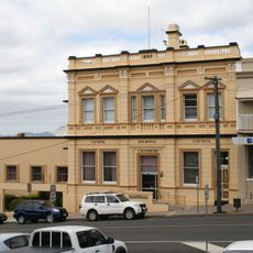
Gympie, Administrative center in southeastern Queensland, Australia

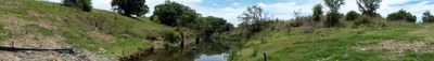
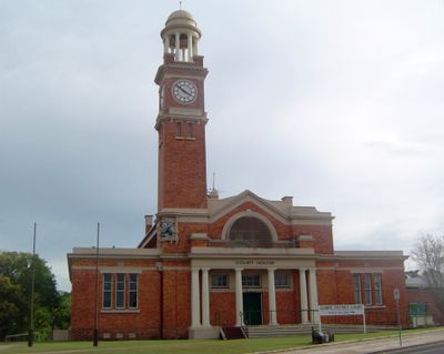
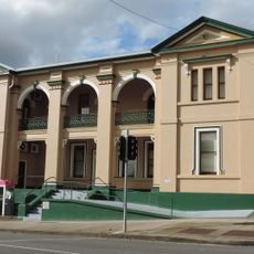
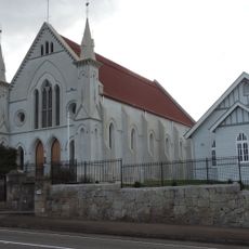
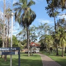
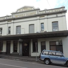
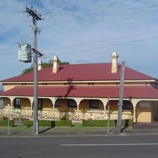
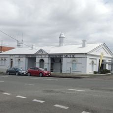
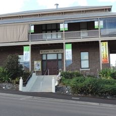
Gympie is a town in southeastern Queensland, Australia, located on Gympie Creek and the Mary River. It serves as the administrative center for the region and has developed into a key supply center with schools, government offices, and retail facilities.

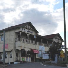
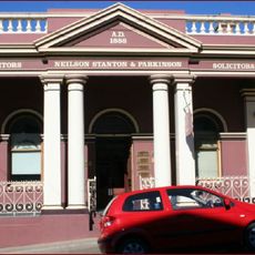
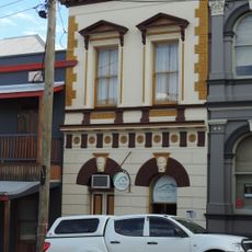
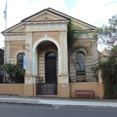
The discovery of gold by James Nash in 1867 transformed the original settlement of Nashville into Gympie and triggered a major gold rush. Mining activity shaped the town until around 1930, after which the economy shifted to other industries.

The name Gympie comes from an Aboriginal word, gimpi-gimpi, honoring the traditional lands of Kabi Kabi, Butchulla, and Wakka Wakka peoples. This heritage remains part of the town's identity and reminds visitors of the area's deep Indigenous roots.

The town connects to Brisbane via the Bruce Highway, roughly 145 kilometers to the south, and has rail connections heading north. Visitors will find local services and accommodations that support exploring the region and surrounding natural areas.

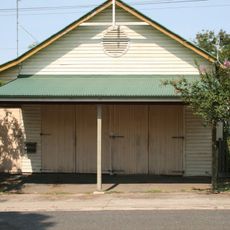
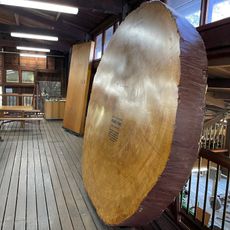
The region operates state forest plantations for pine cultivation that supply local sawmills and timber workshops. This forestry industry alongside food processing demonstrates how the former mining area has evolved into a diversified production center.

The community of curious travelers

AroundUs brings together thousands of curated places, local tips, and hidden gems, enriched daily by 60,000 contributors worldwide.

Start exploring
Location
Location
Elevation above the sea
69 m
Shares border with
Victory Heights, Araluen, Monkland, Two Mile, Widgee Crossing North, East Deep Creek, Southside
GPS coordinates
-26.18333,152.66667
Latest update
December 14, 2025 18:46
Reviews
Share your experience

No review yet

Discussions
Start a discussion...

No discussion yet

« Gympie - Administrative center in southeastern Queensland, Australia » is provided by Around Us (aroundus.com). Images and texts are derived from Wikimedia project under a Creative Commons license. You are allowed to copy, distribute, and modify copies of this page, under the conditions set by the license, as long as this note is clearly visible.

Discover hidden gems everywhere you go!

From secret cafés to breathtaking viewpoints, skip the crowded tourist spots and find places that match your style. Our app makes it easy with voice search, smart filtering, route optimization, and insider tips from travelers worldwide. Download now for the complete mobile experience.

Around Us App Screenshot

A unique approach to discovering new places

Le Figaro

All the places worth exploring

France Info

A tailor-made excursion in just a few clicks

20 Minutes

Around Us
Travel Guide & Maps
Download

Send to your phone

QR Code
1

Open the camera app on your mobile.

2

Point at the QR code with your camera. A notification will appear.

3

Tap the notification to open the link.