Girramay National Park, Nature reserve in Tablelands Region, Australia.
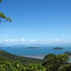
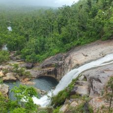
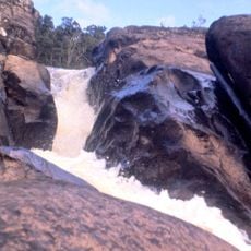
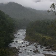
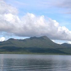
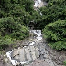
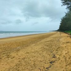
Girramay National Park covers 295 km² in North Queensland, about 20 km northwest of Cardwell, and has been part of the Wet Tropics World Heritage Area since 1988. Its western Murray Falls section (215 km²) lies at the foot of the Kirrama Range, where the Murray River drops in cascades over water-sculpted granite. The eastern Edmund Kennedy section (69.5 km²) runs along the Coral Sea as swamps and mangroves.
The protected area was formed in 2009 when two separate parks merged into a single conservation zone. This union created a larger connected space for protecting natural habitats and wildlife.
The park takes its name from the Girramay people, who lived on this land for thousands of years before it was declared a national park. The name was carried over when Edmund Kennedy National Park and Murray Upper National Park were merged in 2009.
Camping is not permitted in Girramay National Park. Picnic tables and toilets are provided, and two easy-graded boardwalks lead through the mangroves and along Wreck Creek. The Edmund Kennedy section is reached via Clift Road, about 3 km north of Cardwell off the Bruce Highway; Murray Falls lies up a 20 km access road near Murrigal.
The park protects populations of Arenga palms that grow naturally in only a handful of places across mainland Australia. These tropical plants stand out as a rare sight on the Australian continent and shape the character of the wettest forest areas.
The community of curious travelers
AroundUs brings together thousands of curated places, local tips, and hidden gems, enriched daily by 92,925 contributors worldwide.