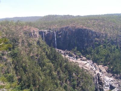
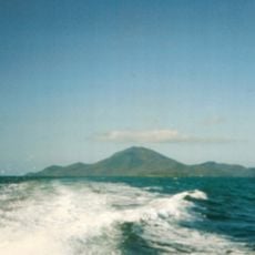
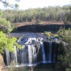
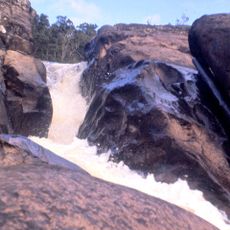
Blencoe Falls, Segmented waterfall in Girringun National Park, Far North Queensland, Australia
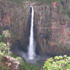
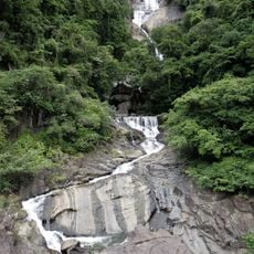
Blencoe Falls is a multi-tiered waterfall in Girringun National Park, in Far North Queensland. The water drops about 90 meters in its first plunge, then continues down another 230 meters through a deep gorge carved into the ranges.
The Warrongo people have lived in this area for thousands of years and are the original connection to this land. The site became known to wider audiences when the second season of the television series Survivor was filmed nearby.
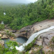
The Warrongo people are the traditional custodians of this land and have a deep connection to the falls and the surrounding forest. Visitors walking through the area can notice how the landscape has been treated with care over a very long time.
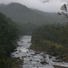
A four-wheel-drive vehicle is needed to reach the falls, as the tracks leading from the Kennedy Highway or Mount Garnet are unsealed and can be rough. The dry season is the best time to visit, when the roads are easier to handle and the gorge is more accessible.
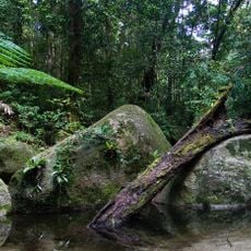
Ancient hoop pine trees grow in the forest near the falls, survivors from a time when this part of Australia had a much wetter and warmer climate than today. These trees are considered living records of a very different period in the region's natural past.
The community of curious travelers
AroundUs brings together thousands of curated places, local tips, and hidden gems, enriched daily by 60,000 contributors worldwide.