Girringun National Park, Nature reserve in Queensland, Australia
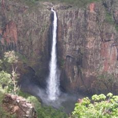
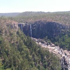
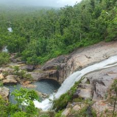
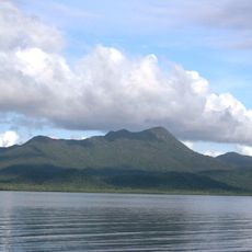
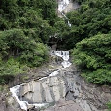
Girringun National Park covers 2,085.5 km² of north Queensland, mostly wet sclerophyll forest with pockets of rainforest on eastern slopes and ridges. The Seaview, George and Cardwell ranges dominate the landscape, which is strewn with granite debris and volcanic bombs from an eruption 100,000 years ago. Its best-known feature is Wallaman Falls, a 268 m single drop, Australia's largest; the Blencoe Falls section drops over 90 m and then a further 230 m into the Herbert River gorge.
The area became known in the 1850s through George Dalrymple's expedition, which built a route to connect inland regions with Queensland's coast. This Dalrymple Track is still used today and remains an important access to the park's remote sections.
The land is home to the Warrgamay, Warungnu, and Girramay peoples, who maintain their connection to this place through sacred sites. These locations remain important to the communities today and shape how the park is experienced.
Each of the six zones has different conditions and access requirements, so planning ahead is necessary before visiting. The sections can be explored individually and require varying amounts of time and preparation depending on your chosen route.
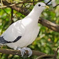
The 100,000-year-old eruption scattered volcanic bombs across the park and left a lava layer up to 10 metres thick, debris still visible around the Seaview, George and Cardwell ranges. The park also lies within the Wooroonooran Important Bird Area, recognised by BirdLife International for birds endemic to the Wet Tropics.
The community of curious travelers
AroundUs brings together thousands of curated places, local tips, and hidden gems, enriched daily by 94,358 contributors worldwide.