
Bingera National Park
Bingera National Park, national park in Australia
Location: Queensland
Inception: 2009
Elevation above the sea: 49 m
Operator: Queensland Department of National Parks, Sport and Racing
GPS coordinates: -25.02777,152.31580
Latest update: March 3, 2025 13:38
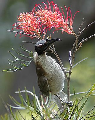
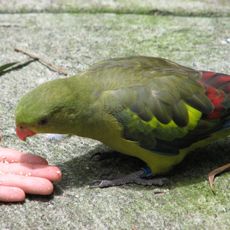
Flying High Bird Sanctuary
22.6 km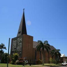
St John's Lutheran Church, Bundaberg
18.2 km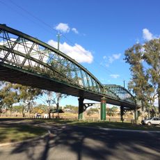
Burnett Bridge
18.6 km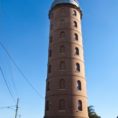
East Water Tower
19.1 km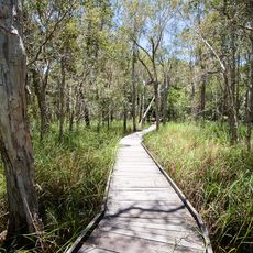
Burrum Coast National Park
15.6 km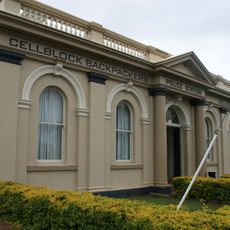
Bundaberg Police Station
18.3 km
Commercial Bank, Bundaberg
18.2 km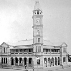
Bundaberg Post Office
18.3 km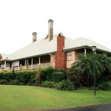
Fairymead House
19.3 km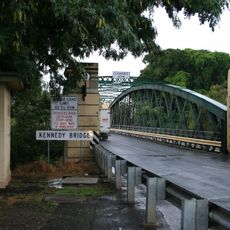
Kennedy Bridge, Bundaberg
18.7 km
4BU Radio Station building
18.2 km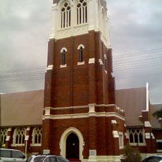
St Andrews Uniting Church, Bundaberg
18.1 km
Bundaberg School of Arts
18.2 km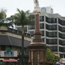
Bundaberg War Memorial
18.4 km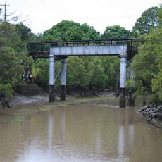
Saltwater Creek Railway Bridge
18.8 km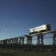
Splitters Creek Railway Bridge
18.6 km
Bourbong Street Weeping Figs
18.3 km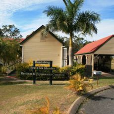
South Sea Islander Church
16.3 km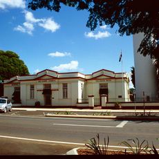
Isis District War Memorial and Shire Council Chambers
23.4 km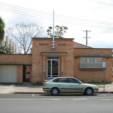
Fallon House, Bundaberg
18.3 km
Bundaberg War Nurses Memorial
17.7 km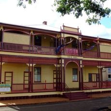
Childers RSL Club
23.5 km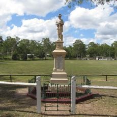
Apple Tree Creek War Memorial
22.8 km
Hinkler Hall of Aviation
19.7 km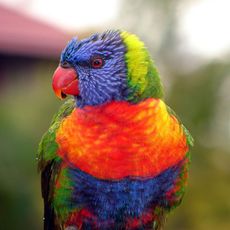
Cordalba National Park
23.9 km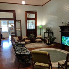
Fairymead House Sugar Museum
19.3 km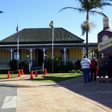
Bundaberg Rum Distillery
20 km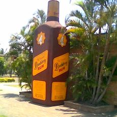
Big Rum Bottle
20 kmReviews
Visited this place? Tap the stars to rate it and share your experience / photos with the community! Try now! You can cancel it anytime.
Discover hidden gems everywhere you go!
From secret cafés to breathtaking viewpoints, skip the crowded tourist spots and find places that match your style. Our app makes it easy with voice search, smart filtering, route optimization, and insider tips from travelers worldwide. Download now for the complete mobile experience.

A unique approach to discovering new places❞
— Le Figaro
All the places worth exploring❞
— France Info
A tailor-made excursion in just a few clicks❞
— 20 Minutes