Bundaberg, Regional city in Wide Bay-Burnett, Queensland, Australia.
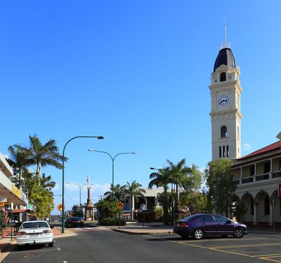
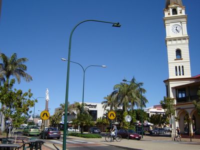
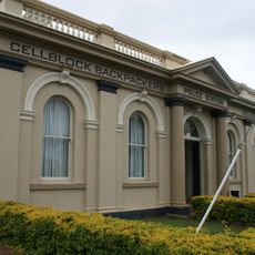
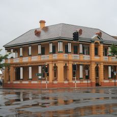
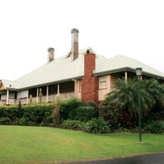
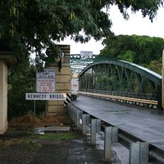
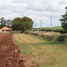
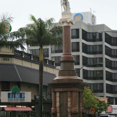
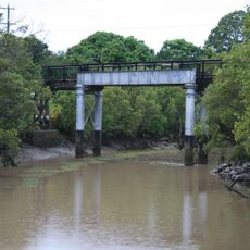
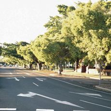
Bundaberg is a city along the Burnett River in eastern Queensland, surrounded by sugarcane plantations and low hills. Streets form a grid pattern beside the river, with shops and public buildings in the center and residential areas spreading toward the surrounding fields.
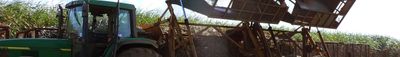
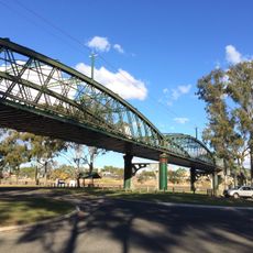
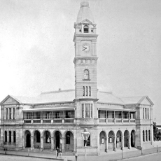
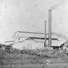
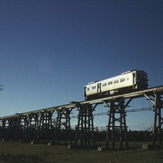
A surveyor laid out the first streets in 1868 after settlers began growing sugarcane along the river. Decades later the town grew with the construction of processing mills and the arrival of the railway, which transported sugar and rum to other parts of Queensland.
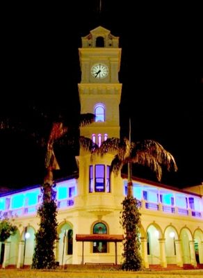
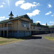
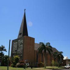
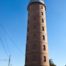
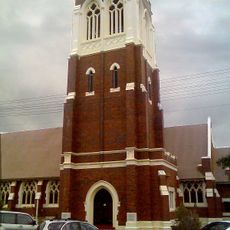
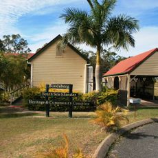
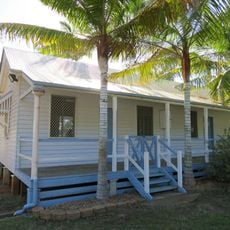
The name comes from the Burnett River and the German word for mountain, a nod to the hills in the hinterland. Today sugarcane fields and distilleries define the landscape, while many buildings made of red brick recall the early settlers.
The local airport connects travelers with Brisbane, while buses serve the town and surrounding areas. Walking or cycling through the center is easy since the streets are flat and clearly laid out.
A turtle rookery nearby attracts loggerhead turtles each year to lay eggs on the beach, mostly between November and March. Visitors can watch after dark as females come ashore and hatchlings crawl toward the ocean.
Location: Bundaberg Region
Location: Queensland
Inception: 1870
Elevation above the sea: 17 m
GPS coordinates: -24.86533,152.35168
Latest update: December 13, 2025 16:30
Bundaberg State High School
1.3 km
St John's Lutheran Church, Bundaberg
1.1 km
Burnett Bridge
662 m
East Water Tower
1.5 km
Bundaberg Police Station
496 m
Alexandra Park Zoo
873 m
Commercial Bank, Bundaberg
505 m
Bundaberg Post Office
336 m
Fairymead House
1.9 km
Kennedy Bridge, Bundaberg
615 m
4BU Radio Station building
400 m
Fairymead Sugar Plantation
10.5 km
Sunnyside Sugar Plantation
6.5 km
St Andrews Uniting Church, Bundaberg
581 m
Bundaberg Central State School
574 m
Bundaberg War Memorial
187 m
Bundaberg School of Arts
365 m
Saltwater Creek Railway Bridge
630 m
Sir Anthony's Rest
8.2 km
Splitters Creek Railway Bridge
6.7 km
Kalkie State School
5.1 km
Bourbong Street Weeping Figs
400 m
South Sea Islander Church
3.5 km
Fallon House, Bundaberg
597 m
Branyan Road State School
6.6 km
Bundaberg War Nurses Memorial
1.7 km
Hinkler Hall of Aviation
2.2 km
Fairymead House Sugar Museum
1.9 kmVisited this place? Tap the stars to rate it and share your experience / photos with the community! Try now! You can cancel it anytime.
Discover hidden gems everywhere you go!
From secret cafés to breathtaking viewpoints, skip the crowded tourist spots and find places that match your style. Our app makes it easy with voice search, smart filtering, route optimization, and insider tips from travelers worldwide. Download now for the complete mobile experience.
A unique approach to discovering new places❞
— Le Figaro
All the places worth exploring❞
— France Info
A tailor-made excursion in just a few clicks❞
— 20 Minutes