
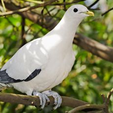
North East Island National Park, protected area in Queensland, Australia
Location: Queensland
Inception: 1936
Elevation above the sea: 105 m
GPS coordinates: -21.66583,150.33639
Latest update: April 17, 2025 17:10
Cape Palmerston National Park
94.4 km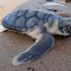
Broad Sound Islands National Park
40.2 km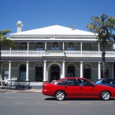
Commonwealth Bank Building, Mackay
132.6 km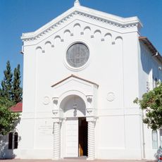
Holy Trinity Church, Mackay
132.6 km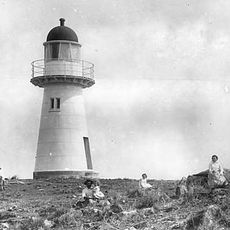
Flat Top Island Light
126.1 km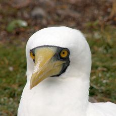
Northumberland Islands National Park
56 km
Yuwi Paree Toolkoon National Park
123.8 km
Dunwich Convict Causeway
102.2 km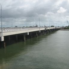
Forgan Bridge
132.8 km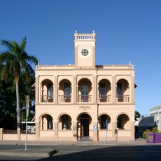
Mackay Town Hall
132.6 km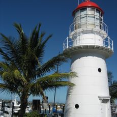
Pine Islet Light
12.4 km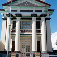
Mackay Masonic Temple
132.7 km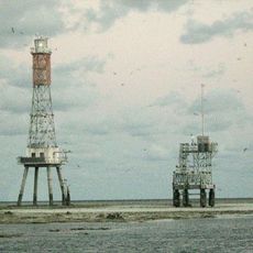
Creal Reef Light
126.1 km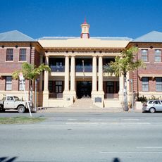
Mackay Court House and Police Station
132.6 km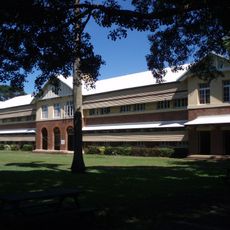
Mackay Central State School
132.9 km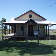
St Lawrence Police Station
112.5 km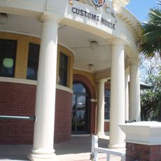
Mackay Customs House
132.7 km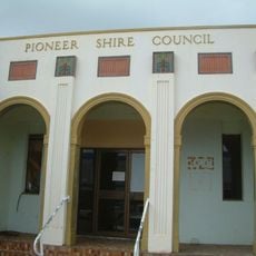
Pioneer Shire Council Building
132.8 km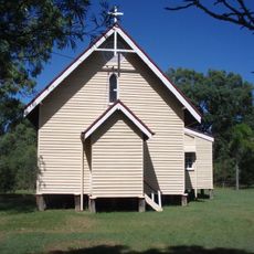
Christ Church Anglican Church, St Lawrence
111.9 km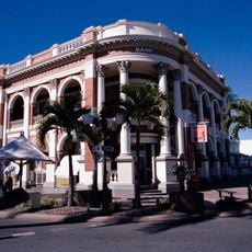
Queensland National Bank, Mackay
132.7 km
Carmila Cane Lift
104.2 km
Meatworks and Wharf Site, St Lawrence
112.2 km
East Gordon Street Sewerage Works
132 km
Mackay Technical College
132.6 km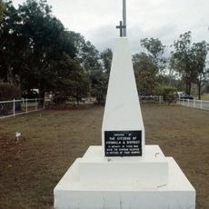
Koumala War Memorial
113.3 km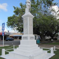
Sarina War Memorial
118.9 km
Percy Isles National Park
6.6 km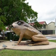
Cane Toad
119 kmReviews
Visited this place? Tap the stars to rate it and share your experience / photos with the community! Try now! You can cancel it anytime.
Discover hidden gems everywhere you go!
From secret cafés to breathtaking viewpoints, skip the crowded tourist spots and find places that match your style. Our app makes it easy with voice search, smart filtering, route optimization, and insider tips from travelers worldwide. Download now for the complete mobile experience.

A unique approach to discovering new places❞
— Le Figaro
All the places worth exploring❞
— France Info
A tailor-made excursion in just a few clicks❞
— 20 Minutes