Pioneer Peaks National Park, Nature reserve in Mackay Regional, Australia.
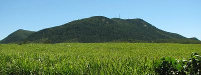
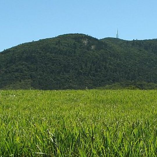
Pioneer Peaks National Park is a 19 km² national park in Queensland, 32 km northwest of Mackay and 87 km south of Airlie Beach, beside the Bruce Highway. Its highest summit is Mount Blackwood at 590 m, with Mount Jukes (547 m), Mount Adder (380 m) and Mount Mandurana (308 m) below it. All are volcanic in origin, formed about 32 million years ago, and erosion has since carved out their steep peaks.
The area was officially placed under protection in 2004 as part of a regional conservation effort. This decision reflected the need to safeguard subtropical landscapes in the region.
The park has no visitor facilities, roads or walking tracks, so its cultural interest lies in the names on the map: Mount Blackwood, Mount Jukes, Mount Adder and Mount Mandurana mark the four volcanic summits within its 19 km². The park was gazetted on 23 July 2004 and lies beside the Bruce Highway, 32 km northwest of Mackay.
There are no roads, walking trails or visitor facilities of any kind inside the park, so access and route-finding must be planned in advance. The park lies along the Bruce Highway, 32 km northwest of Mackay and 87 km south of Airlie Beach. Neighbouring parks include Newry Islands, Cape Hillsborough, Mount Martin, Reliance Creek and Mount Ossa.
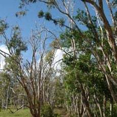
The area shelters a wide range of plant and animal species, including species found only in this subtropical region. This biological variety makes the place particularly engaging for nature observers.
The community of curious travelers
AroundUs brings together thousands of curated places, local tips, and hidden gems, enriched daily by 94,358 contributors worldwide.