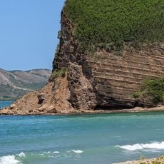
Méméira, Mountain summit in New Caledonia.
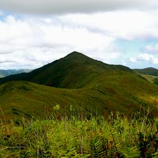
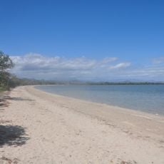
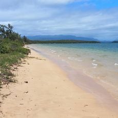
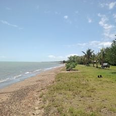
Méméira is a summit in New Caledonia that rises 246 meters above sea level with exposed rock formations and native plants covering its slopes and ridges. The mountain features a mix of bare rock faces and dense vegetation that changes with elevation.
Méméira was first documented during French geographical surveys that mapped New Caledonia in the Pacific region. These colonial expeditions helped establish European knowledge of the local landscape.
The Kanak people of New Caledonia maintain traditional connections to the mountain through their ancestral stories and land management practices.
Hikers need sturdy footwear, plenty of water, and navigation tools to follow the marked trails safely to the summit. Weather can shift quickly, so checking conditions before heading out helps you prepare appropriately.
The summit's position at latitude -21.466667 and longitude 165.816667 creates specific weather patterns affecting local plant growth cycles.
The community of curious travelers
AroundUs brings together thousands of curated places, local tips, and hidden gems, enriched daily by 60,000 contributors worldwide.