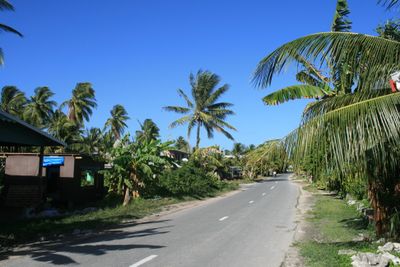
Funafuti, Administrative capital on Fongafale Islet, Tuvalu.
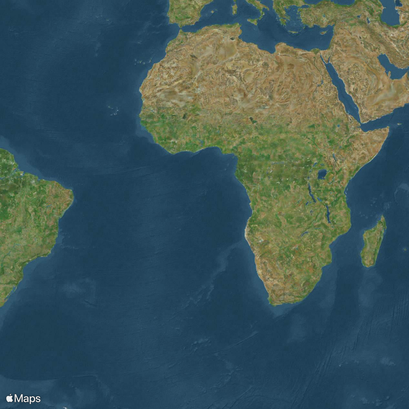
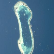
Funafuti is the administrative center located on Fongafale Islet in Tuvalu, an atoll formed by several small islands surrounding a central lagoon. The atoll stretches 18 kilometers in length and 14 kilometers in width, with narrow strips of land lined by coconut palms and low-rise buildings.
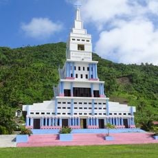
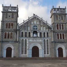
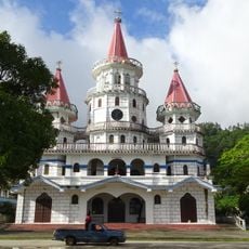
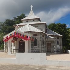
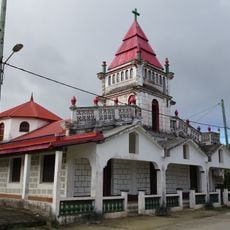
During World War II, American forces built military bases and an airfield on the atoll that later became the international airport. In the 19th century, European missionaries arrived on the island, and it later became part of a British protectorate before Tuvalu gained independence.
When the village council meets, residents gather in the traditional meeting house where they decide matters according to customs passed down through generations. Elders speak first, and younger members learn how disputes are resolved and shared tasks are organized.
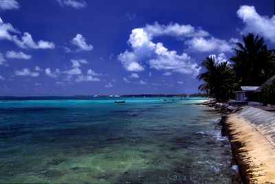
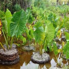
The lagoon is easily accessible by small boats that leave from the main road near the shore, and visitors can swim or explore the surrounding islets. The weather is warm and humid year-round, and most paths are unpaved, so sturdy footwear helps when exploring.
In 1896, researchers drilled deep holes through the coral rock to understand how an atoll forms and grows over centuries. These boreholes provided important insights into coral reef structure and remain a reference point in geology today.
The community of curious travelers
AroundUs brings together thousands of curated places, local tips, and hidden gems, enriched daily by 60,000 contributors worldwide.