Sixty Mile River, Brook in Yukon Territory, Canada
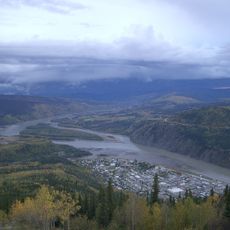
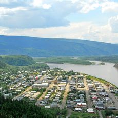
Sixty Mile River is a brook in Yukon that flows for about 165 kilometers and connects with multiple waterways in the Yukon River drainage basin. The water cuts through different landscapes and links with other streams in the region.
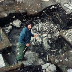
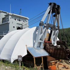
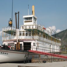
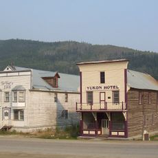
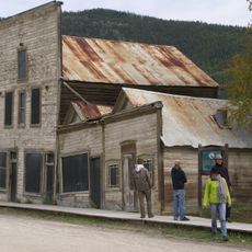
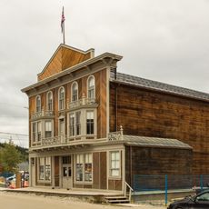
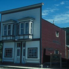
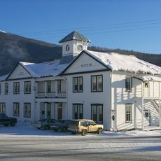
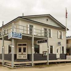
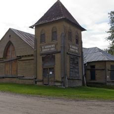
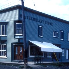
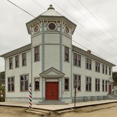
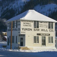
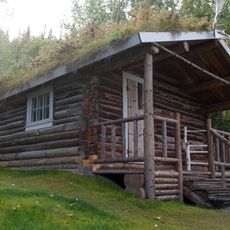
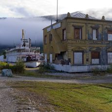
The river area attracted over 1000 miners during the 1895 Klondike Gold Rush who established settlements along its banks. This period shaped the region's development and left lasting marks on the landscape.
The name comes from early prospectors who measured distances from trading posts to mining locations.
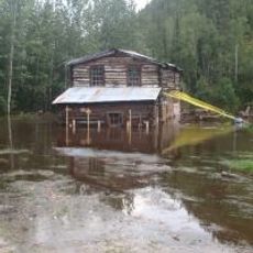
The upper section near California Creek is difficult to navigate due to rapids and requires careful planning for water activities. Visitors should become familiar with local conditions before entering the water.
The river valley contains diverse rock formations including igneous schists, granite-gneisses, and quartzites that created gold deposits. These mineral-rich stones made the area especially valuable for early prospectors.
The community of curious travelers
AroundUs brings together thousands of curated places, local tips, and hidden gems, enriched daily by 60,000 contributors worldwide.