Picacho Peak State Park, State park in Pinal County, United States.
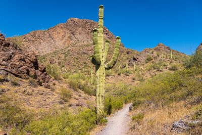
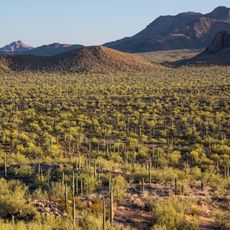
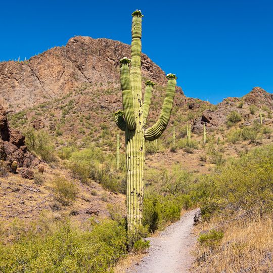
Picacho Peak State Park surrounds Picacho Peak, a 3,374-foot (1,028 m) spire in Pinal County, Arizona, between Casa Grande and Tucson beside Interstate 10. The summit is not a volcanic neck but a tilted, eroded block of rock overlain by a lava flow. Two trailheads lead to a small flat space on top, with cables and catwalks on the steep sections.
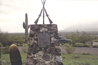
The park is near the site of the Battle of Picacho Pass, where a Union cavalry patrol from California skirmished with Confederate scouts from Texas and three men were killed. It is the second westernmost battle of the American Civil War. The park was established in 1968 and covers 1,516 hectares.
The name is redundant: picacho already means "peak" in Spanish. Father Francisco Garcés recorded the peak in 1775 as Cerro de Taca, from the Oʼodham name Tcacca or Taceo; it was also called Picacho del Tucson. Each early March, reenactors stage the 1862 Battle of Picacho Pass and other Civil War military demonstrations.
The Hunter Trail leads to the summit and requires a head for heights, with steel cables helping hikers through steep scrambling sections. The best time to visit runs from fall through spring, when desert temperatures remain tolerable.
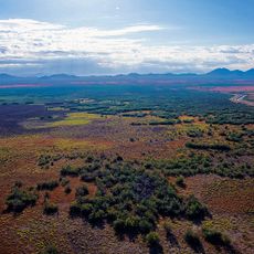
Between late February and March, Mexican gold poppies turn the desert floor around the peak into fields of yellow blossoms, drawing large crowds. The bloom depends heavily on winter rainfall and varies in intensity each year.
The community of curious travelers
AroundUs brings together thousands of curated places, local tips, and hidden gems, enriched daily by 92,647 contributors worldwide.