Enable Location

We need your location to show you interesting places around you

Discover nearby places

Find interesting locations and hidden gems around you

Precise directions

Get accurate directions and distances to places

Your location is never shared with other users. It's only used when you tap the location button.

Pinal County

Log in to your account

Start exploring — it's free

Trusted by 62,903 travelers worldwide

Continue with Google
Continue with Apple
or

We will send you a code to connect

By continuing, you accept our Terms and Conditions and our Privacy Policy

Check your inbox

We've sent a pincode in your inbox. Please enter the code below.

Discussion Reviews 3 Photos
80.3k Popularity

Pinal County, Administrative county in Central Arizona, United States.

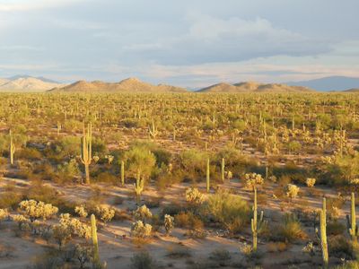
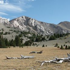
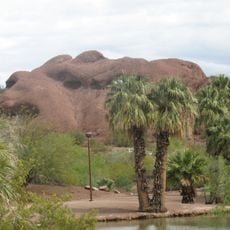
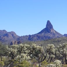
Pinal County is an administrative division in central Arizona that covers desert plains, low mountains and scattered towns between Phoenix and Tucson. The territory connects several small communities with open stretches of arid land marked by sagebrush and occasional rock formations.

The county was created in 1875 and named after the Pinal Apache people who lived in the region before European settlers arrived. Mining activity and later agriculture shaped the growth of the area over more than a century.

Local communities organize regular events at the Pinal County Fairgrounds, bringing together residents for celebrations, markets, and educational programs throughout the year.

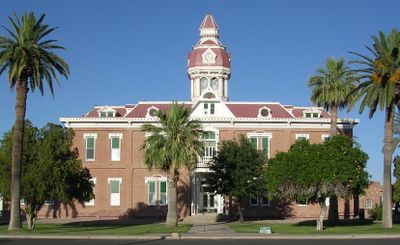
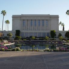
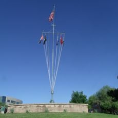
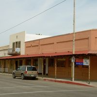
The county manages public services through departments that handle health, safety and infrastructure across a wide area. Visitors can find information about recreation areas and government offices in the larger towns such as Casa Grande and Florence.

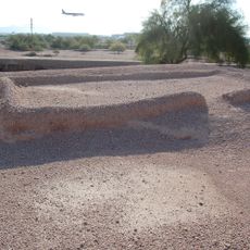
The territory operates two airfields including Pinal Airpark, which serves as a storage site for retired commercial aircraft. Hundreds of planes sit in long rows under the dry desert sky before being scrapped or brought back into service.

The community of curious travelers

AroundUs brings together thousands of curated places, local tips, and hidden gems, enriched daily by 60,000 contributors worldwide.

Start exploring
Location
Inception
1875
Capital city
Florence
Shares border with
Maricopa County, Gila County, Graham County, Pima County
GPS coordinates
32.98694,-111.32722
Latest update
December 14, 2025 17:04
Around this place
Biosphere 2
United States of America

Biosphere 2

63.7 km
United States of America

Faithful Word Baptist Church

75.5 km
Basin and Range Province
United States of America

Basin and Range Province

62.8 km
Arizona State Capitol
United States of America

Arizona State Capitol

88.1 km
Papago Park
United States of America

Papago Park

77.3 km
Mystery Castle
United States of America

Mystery Castle

79.9 km
Picacho Peak State Park
United States of America

Picacho Peak State Park

40.5 km
Arizona Federal Theatre
United States of America

Arizona Federal Theatre

86.8 km
Phoenix Zoo
United States of America

Phoenix Zoo

77.7 km
Tovrea Castle
United States of America

Tovrea Castle

79.3 km
Tempe Town Lake
United States of America

Tempe Town Lake

75 km
Chase Tower
United States of America

Chase Tower

86.6 km
South Mountain Park
United States of America

South Mountain Park

79.3 km
Lost Dutchman State Park
United States of America

Lost Dutchman State Park

54.1 km
Desert Botanical Garden
United States of America

Desert Botanical Garden

78.1 km
Tempe Butte
United States of America

Tempe Butte

75 km
Mesa Arizona Temple
United States of America

Mesa Arizona Temple

66 km
HoHoKam Stadium
United States of America

HoHoKam Stadium

68.7 km
Gammage Memorial Auditorium
United States of America

Gammage Memorial Auditorium

74.3 km
St. Anthony's Greek Orthodox Monastery
United States of America

St. Anthony's Greek Orthodox Monastery

9.6 km
Arizona Science Center
United States of America

Arizona Science Center

86 km
Weaver's Needle
United States of America

Weaver's Needle

49.9 km
Rosson House
United States of America

Rosson House

86 km
Pueblo Grande Ruin and Irrigation Sites
United States of America

Pueblo Grande Ruin and Irrigation Sites

79.7 km
Wesley Bolin Memorial Plaza
United States of America

Wesley Bolin Memorial Plaza

87.9 km
United States of America

Her Secret Is Patience

86.8 km
St. Mary's Basilica
United States of America

St. Mary's Basilica

86.3 km
United States of America

Wild Horse Pass Motorsports Park

67.3 km
Show the full map
Reviews
Share your experience

No review yet

Discussions
Start a discussion...

No discussion yet

Administrative divisions
« Pinal County - Administrative county in Central Arizona, United States » is provided by Around Us (aroundus.com). Images and texts are derived from Wikimedia project under a Creative Commons license. You are allowed to copy, distribute, and modify copies of this page, under the conditions set by the license, as long as this note is clearly visible.

Discover hidden gems everywhere you go!

From secret cafés to breathtaking viewpoints, skip the crowded tourist spots and find places that match your style. Our app makes it easy with voice search, smart filtering, route optimization, and insider tips from travelers worldwide. Download now for the complete mobile experience.

Around Us App Screenshot

A unique approach to discovering new places

Le Figaro

All the places worth exploring

France Info

A tailor-made excursion in just a few clicks

20 Minutes

Around Us
Travel Guide & Maps
Download

Send to your phone

QR Code
1

Open the camera app on your mobile.

2

Point at the QR code with your camera. A notification will appear.

3

Tap the notification to open the link.