Enable Location

We need your location to show you interesting places around you

Discover nearby places

Find interesting locations and hidden gems around you

Precise directions

Get accurate directions and distances to places

Your location is never shared with other users. It's only used when you tap the location button.

Basin and Range Province

Log in to your account

Join the adventure

Create your free account and start exploring (like 60k+ others)

We will send you a code to connect

or
Continue with Google
Continue with Apple
By continuing, you accept our Terms and Conditions and our Privacy Policy

Check your inbox

We've sent a pincode in your inbox. Please enter the code below.

Basin and Range Province

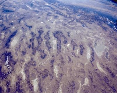
Basin and Range Province, Physiographic province in Western United States and Northern Mexico.

Description

The Basin and Range Province is a physiographic province in Arizona and other parts of the western United States, where long mountain chains and flat basins alternate for hundreds of miles. This landscape stretches from eastern California to central Utah and southern Idaho, forming a distinct pattern of parallel ridges and broad valleys.

History

Around 17 million years ago during the early Miocene, the crust in this zone began to stretch and thin through tectonic extension. Over millions of years these processes created the mountain ranges that rose from the plain while basins sank.

Culture

Local names for valleys and ridges along this region often blend Spanish and indigenous roots, as earlier inhabitants named water sources and passes across generations. Today hikers and travelers use the same natural corridors that once formed trade routes between remote communities.

Practical

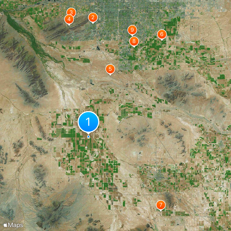
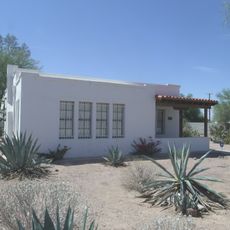
Major cities such as Las Vegas, Reno, Salt Lake City, Phoenix and Tucson lie within the province and are connected by highways that cross numerous north-south mountain ranges. Travelers moving through the region should be prepared for changing elevations and long open stretches between the ranges.

Did you know?

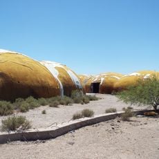
The terrain displays a repeating pattern of parallel mountain ranges rising roughly 3000 to 5000 feet (900 to 1500 meters) above valley floors. Death Valley marks the lowest point in the entire province, lying far below sea level.

Location
GPS coordinates
33.00000,-112.00000
Latest update
December 13, 2025 17:59

AroundUs brings together thousands of curated places, local tips, and hidden gems, enriched daily by 60,000 contributors worldwide. Discover all places nearby (Arizona).

Around this place
United States of America

Ahwatukee

38.1 km
Mystery Castle
United States of America

Mystery Castle

40.1 km
South Mountain Park
United States of America

South Mountain Park

38 km
Hohokam Pima National Monument
United States of America

Hohokam Pima National Monument

22 km
Gilbert Arizona Temple
United States of America

Gilbert Arizona Temple

40.7 km
Corona Satellite Calibration Targets
United States of America

Corona Satellite Calibration Targets

34.7 km
Arizona Railway Museum
United States of America

Arizona Railway Museum

33.7 km
San Marcos Hotel
United States of America

San Marcos Hotel

36.9 km
House of the Future
United States of America

House of the Future

37.3 km
Rawhide
United States of America

Rawhide

30.1 km
Mesquite Groves Aquatic Center
United States of America

Mesquite Groves Aquatic Center

33 km
C.H. Cook Memorial Church
United States of America

C.H. Cook Memorial Church

25.7 km
Casa Grande Stone Church
United States of America

Casa Grande Stone Church

26.6 km
First Baptist Church
United States of America

First Baptist Church

26.8 km
Casa Grande Woman's Club Building
United States of America

Casa Grande Woman's Club Building

26.5 km
Saint Anthony's Church
United States of America

Saint Anthony's Church

27 km
White House
United States of America

White House

27.1 km
McCullough-Price House
United States of America

McCullough-Price House

34.4 km
Valley National Bank
United States of America

Valley National Bank

27.2 km
Cruz Trading Post
United States of America

Cruz Trading Post

26.7 km
Building at 400 East Third Street
United States of America

Building at 400 East Third Street

27.1 km
Henry and Anna Kochsmeier House
United States of America

Henry and Anna Kochsmeier House

26.4 km
Walter Wilbur House
United States of America

Walter Wilbur House

27.4 km
Casa Grande Hospital
United States of America

Casa Grande Hospital

27.1 km
The Domes of Casa Grande
United States of America

The Domes of Casa Grande

29.7 km
Casa Grande City Hall
United States of America

Casa Grande City Hall

27.1 km
Paramount Theatre
United States of America

Paramount Theatre

26.8 km
Rowena Theatre
United States of America

Rowena Theatre

36.7 km
Show the full map
« Basin and Range Province - Physiographic province in Western United States and Northern Mexico » is provided by Around Us (aroundus.com). Images and texts are derived from Wikimedia project under a Creative Commons license. You are allowed to copy, distribute, and modify copies of this page, under the conditions set by the license, as long as this note is clearly visible.

Discover hidden gems everywhere you go!

From secret cafés to breathtaking viewpoints, skip the crowded tourist spots and find places that match your style. Our app makes it easy with voice search, smart filtering, route optimization, and insider tips from travelers worldwide. Download now for the complete mobile experience.

Around Us App Screenshot

A unique approach to discovering new places

Le Figaro

All the places worth exploring

France Info

A tailor-made excursion in just a few clicks

20 Minutes

Around Us
Travel Guide & Maps
Download

Send to your phone

QR Code
1

Open the camera app on your mobile.

2

Point at the QR code with your camera. A notification will appear.

3

Tap the notification to open the link.