South Mountain Park, Municipal park in Phoenix, United States.
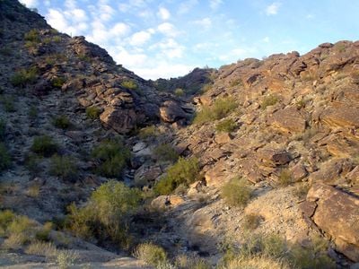
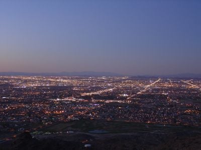
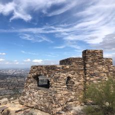
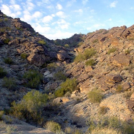
South Mountain Park protects 16,283 acres (about 65.9 km2) of native desert vegetation south of central Phoenix. Its slopes of angular grey, tan and rusty-brown boulders and fractured stone rise to a ridge, with sparse green shrubs and small trees growing between the rocks. A lookout point stands over 1,000 feet (305 m) above the desert floor.
The area became official in 1924 when President Calvin Coolidge sold much of the land to the city. During the 1930s, the Civilian Conservation Corps built paths, lookout points, and facilities that are still used today.
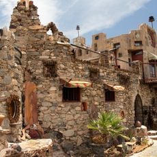
The park's name comes from its position south of central Phoenix; before the rename it was called the Salt River Mountains. Dobbins Road, running east-west just north of the park, is named for J.C. Dobbins, who chaired the city planning commission and sat on the original mountain park committee with Mrs. John Hampton and H.B. Wilkinson. The park holds the Mystery Castle in its foothills.
The trail network includes roughly 93 kilometers of marked routes for walking, cycling, and horse riding, with different difficulty levels and lengths. The Dobbins Lookout sits on Summit Road and can be reached by car, while the other paths are explored on foot or by bike.
This area hosts many chuckwallas, a type of large lizard that bask among the rocks and hide in crevices. The males show a carrot-colored tail, a feature found only at this location.
The community of curious travelers
AroundUs brings together thousands of curated places, local tips, and hidden gems, enriched daily by 92,724 contributors worldwide.