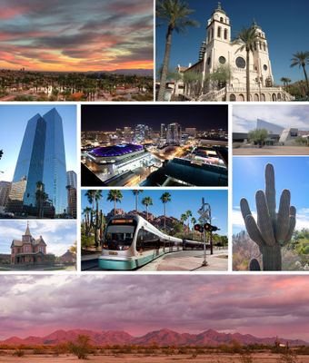
Phoenix, State capital in Arizona, United States.
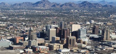
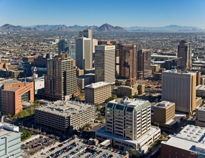
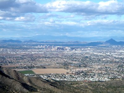
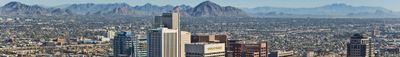
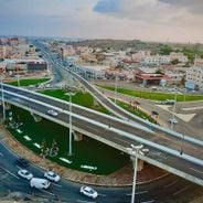
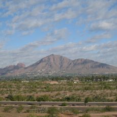
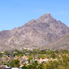
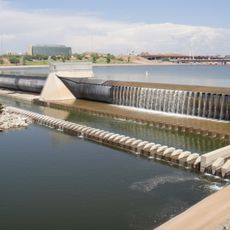
This desert city extends across 517 square miles (1,340 square kilometers) with grid-pattern streets and mountain preserves within municipal boundaries. The Salt River crosses the metropolitan area and is regulated by a system of reservoirs. Development includes sprawling residential neighborhoods, commercial centers, and extensive parkland interspersed among distinctive desert peaks.
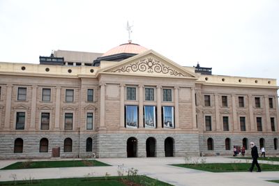
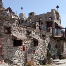
Jack Swilling established the first American settlement here in 1867, reactivating ancient canal systems abandoned by the Hohokam centuries earlier. The community became territorial capital in 1881 and achieved statehood status in 1912. Post-World War II air conditioning technology enabled rapid population growth, transforming the area from a small agricultural center into a major metropolitan region by the 1980s.
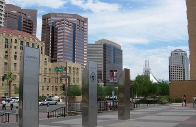
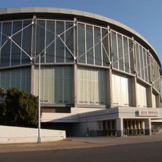
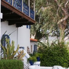
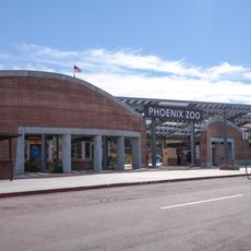
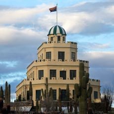
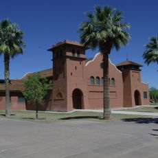
The Heard Museum preserves 40,000 objects from Southwest Native American cultures through exhibitions, demonstrations, and traditional performances. This Arizona capital serves as an economic and cultural center with major institutions dedicated to art, science, and regional history. Numerous events throughout the year celebrate the area's multicultural identity and desert heritage.
The Valley Metro light rail system spans 28 miles (45 kilometers) connecting travelers to Sky Harbor International Airport and surrounding cities. Best visiting months run from November through April when temperatures remain moderate. Summer heat regularly exceeds 100°F (38°C). Public buses supplement rail service with extensive routes throughout the metropolitan area.
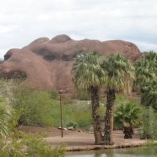
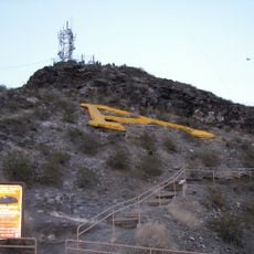
South Mountain Park encompasses 51 miles (82 kilometers) of trails through 16,000 acres (6,475 hectares) of protected desert, making it the largest municipal park in North America. The area contains prehistoric Hohokam petroglyphs on several rock formations. Multiple viewpoints provide panoramic views across the entire Salt River Valley and distant mountain ranges.
The community of curious travelers
AroundUs brings together thousands of curated places, local tips, and hidden gems, enriched daily by 60,000 contributors worldwide.