Florence, County seat in central Arizona, United States.
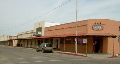
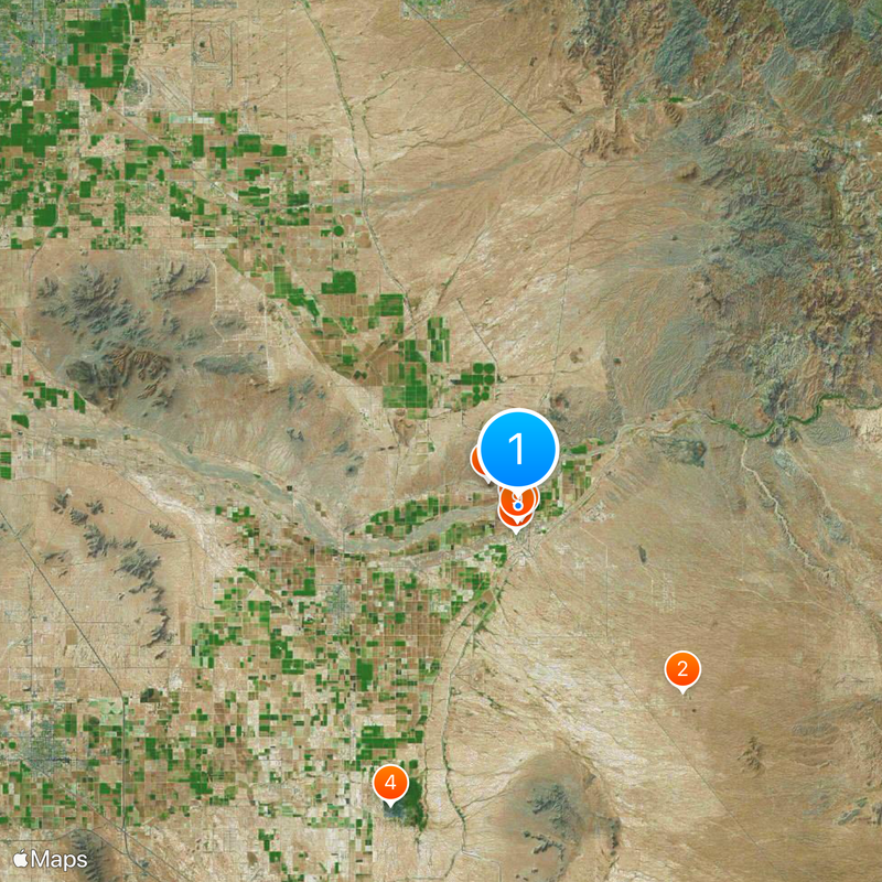
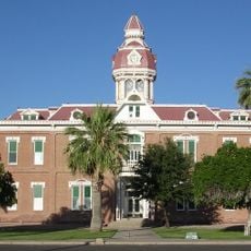
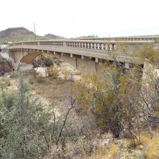
Florence sits along the Gila River at 454 meters elevation, surrounded by cotton fields irrigated by the Ashurst-Hayden Dam. The small town serves as the administrative seat of Pinal County and hosts several government offices along its main street.
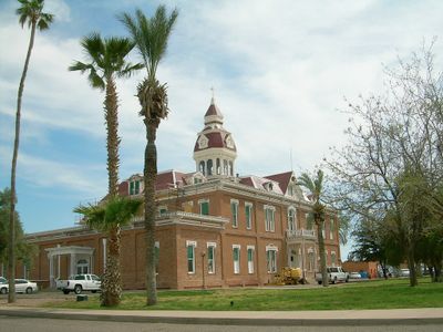
The settlement arose in 1866 and received its name after Governor Richard McCormick's sister. It developed into one of the first established places in Arizona Territory and later became the county administrative seat.
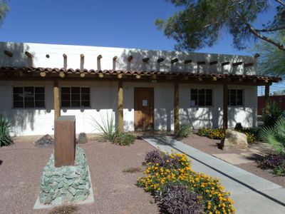
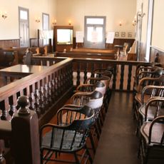
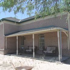
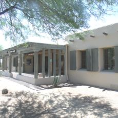
The town preserves several adobe buildings from pioneer days, including a land registry office from 1873 that ranks among the oldest administrative structures in the Gadsden Purchase area. These mud brick houses show early regional building techniques and now stand under heritage protection.
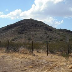
The small town lies on State Route 79, about an hour's drive southeast of Phoenix in the desert region of central Arizona. Visitors find free parking in the historic town center and can explore the main street on foot.
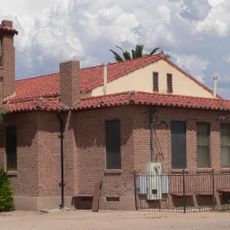
On the eastern town edge stands Arizona's largest correctional facility, encompassing several separate institutions on an expansive site. The Pinal VOTES Center manages elections for the entire county from here using modern electronic systems.
Location: Pinal County
Elevation above the sea: 454 m
Website: http://florenceaz.gov
GPS coordinates: 33.03861,-111.38694
Latest update: December 5, 2025 16:31
Interstate 10 in Arizona
36.5 km
Casa Grande Ruins National Monument
14.3 km
St. Anthony's Greek Orthodox Monastery
17.6 km
Boyce Thompson Arboretum
34.2 km
Picketpost Mountain
32.3 km
Poston Butte
2.7 km
McFarland State Historic Park
296 m
Second Pinal County Courthouse
734 m
Peralta Canyon
38.1 km
C.H. Cook Memorial Church
33.3 km
Rittenhouse Elementary School
33.8 km
Casa Grande Stone Church
38.6 km
First Baptist Church
38.2 km
Gold Canyon Golf Resort
37.4 km
Our Lady of Guadalupe Church
33.2 km
White House
37.8 km
First Presbyterian Church of Florence
897 m
Building at 400 East Third Street
38.4 km
Harvey-Niemeyer House
1.1 km
Walter Wilbur House
37.6 km
McFarland State Historic Park
287 m
The Golf Club at Johnson Ranch
21.2 km
Casa Grande City Hall
38 km
Paramount Theatre
38.5 km
Isis Theatre
428 m
Casa Grande Ruins National Monument Visitor Center
14.8 km
Queen Creek Bridge
28.3 km
Sacaton Dam Bridge
28.5 kmReviews
Visited this place? Tap the stars to rate it and share your experience / photos with the community! Try now! You can cancel it anytime.
Discover hidden gems everywhere you go!
From secret cafés to breathtaking viewpoints, skip the crowded tourist spots and find places that match your style. Our app makes it easy with voice search, smart filtering, route optimization, and insider tips from travelers worldwide. Download now for the complete mobile experience.
A unique approach to discovering new places❞
— Le Figaro
All the places worth exploring❞
— France Info
A tailor-made excursion in just a few clicks❞
— 20 Minutes