
Tortolita, census-designated place in Pima County, Arizona
Location: Pima County
Elevation above the sea: 820 m
GPS coordinates: 32.40444,-111.04889
Latest update: May 13, 2025 15:10
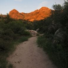
Catalina State Park
14 km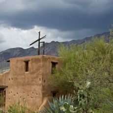
DeGrazia Gallery in the Sun Historic District
17.4 km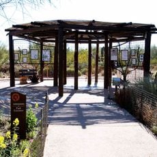
Tohono Chul
9.6 km
Miracle Mile Historic District
19 km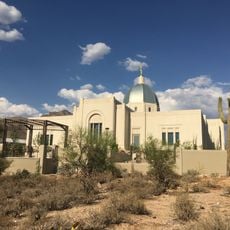
Tucson Arizona Temple
11.9 km
Tucson House
19.4 km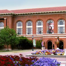
Arizona State Museum
21 km
University of Arizona Museum of Art
20.7 km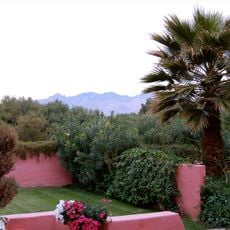
Arizona Inn
20.8 km
Cactus Springs
15 km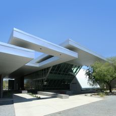
University of Arizona Poetry Center
20.9 km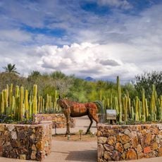
Tohono Chul | Gardens, Galleries, and Bistro
9.6 km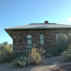
Desert Laboratory
20.4 km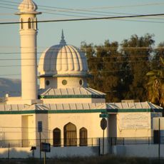
Mosque Tucson
20.8 km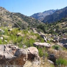
Romero Canyon
15.4 km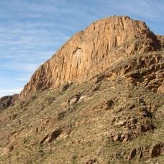
Pusch Ridge Wilderness Area
20.2 km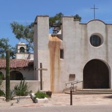
St. Philip's in the Hills Episcopal Church
16.2 km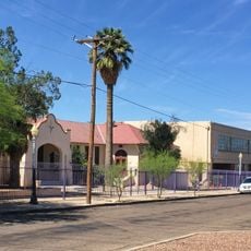
Paul Laurence Dunbar School (historic)
20.3 km
Ball-Paylore House
20.6 km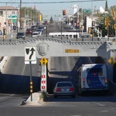
Stone Avenue Underpass
21.1 km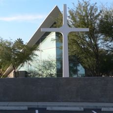
Catalina American Baptist Church
21 km
Terror In The Corn
19.4 km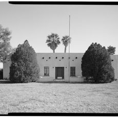
USDA Tucson Plant Materials Center
15.9 km
Blenman-Elm Historic District
20.9 km
Jefferson Park Historic District
20 km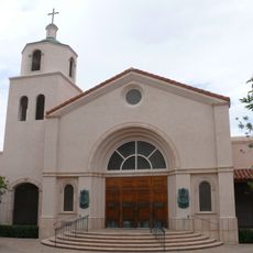
Church of Saint Thomas the Apostle in Tucson
18.7 km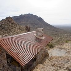
Gates Pass Shelter House
20.7 km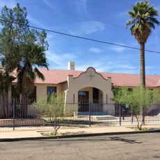
Dunbar School 1918 building
20.3 kmReviews
Visited this place? Tap the stars to rate it and share your experience / photos with the community! Try now! You can cancel it anytime.
Discover hidden gems everywhere you go!
From secret cafés to breathtaking viewpoints, skip the crowded tourist spots and find places that match your style. Our app makes it easy with voice search, smart filtering, route optimization, and insider tips from travelers worldwide. Download now for the complete mobile experience.

A unique approach to discovering new places❞
— Le Figaro
All the places worth exploring❞
— France Info
A tailor-made excursion in just a few clicks❞
— 20 Minutes