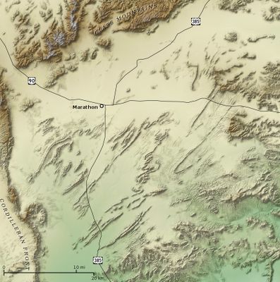
Marathon Uplift, Rock formation in Brewster County, Texas, United States.
Marathon Uplift is a rock formation in southern Texas, near the small town of Marathon, where tilted and folded layers of stone rise above the plateau. The exposed layers include sandstone, shale, and other ancient rock types that were pushed up and bent by forces deep underground.
The formation took shape during the Paleozoic era through the same tectonic forces that built the Ouachita Mountains far to the northeast. Those movements folded and lifted sediments that had once settled on the floor of an ancient sea.
The area was home to Native American peoples for a very long time, and the novaculite stone found in the ridges was shaped into tools and blades. This hard, fine-grained rock can still be spotted on the ground today, giving the land a layer of human history beyond its geology.
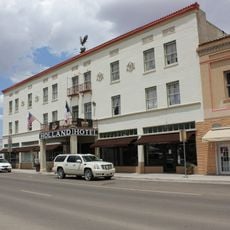
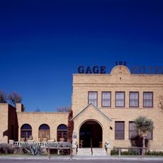
The formation is easy to see from Highway 90, and much of it can be explored on foot without a long walk. Marathon, just nearby, is a good base since it has places to stay and eat before or after visiting the area.
The rocks exposed here are among the oldest found at the surface anywhere in Texas, brought up from deep within the Earth by tectonic folding. In some spots, a visitor can place a hand on stone that would normally sit far below the surface.
The community of curious travelers
AroundUs brings together thousands of curated places, local tips, and hidden gems, enriched daily by 60,000 contributors worldwide.