Enable Location

We need your location to show you interesting places around you

Discover nearby places

Find interesting locations and hidden gems around you

Precise directions

Get accurate directions and distances to places

Your location is never shared with other users. It's only used when you tap the location button.

Persimmon Gap

Log in to your account

Start exploring — it's free

Trusted by 61,743 travelers worldwide

Continue with Google
Continue with Apple
or

We will send you a code to connect

By continuing, you accept our Terms and Conditions and our Privacy Policy

Check your inbox

We've sent a pincode in your inbox. Please enter the code below.

Persimmon Gap

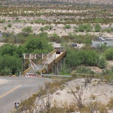
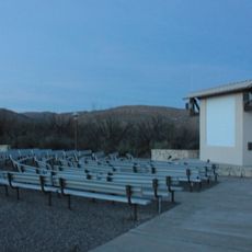
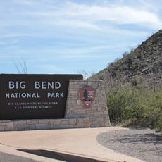
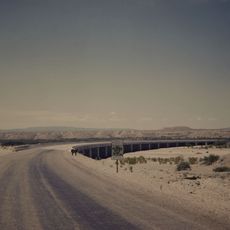
Persimmon Gap, Road mountain pass in Brewster County, US.

Description

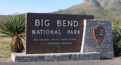
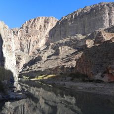
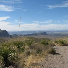
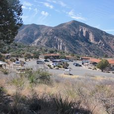
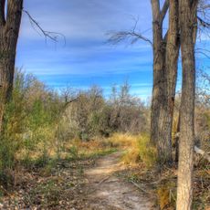
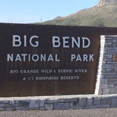
Persimmon Gap is a mountain pass that cuts through steep limestone cliffs and connects the northern entrance of Big Bend National Park to surrounding areas. This natural corridor channels travelers through a dramatic rock formation carved over millions of years.

History

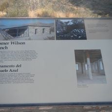
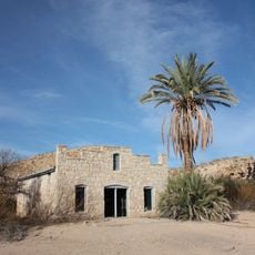
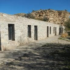
The pass served as a natural route for early settlers and traders moving through West Texas during the 1800s expansion era. This corridor became important for connecting remote communities and moving goods across the landscape.

Culture

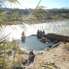
Native American tribes utilized this natural corridor for seasonal migrations and established temporary settlements near water sources along the route.

Practical

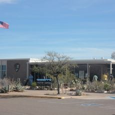
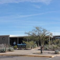
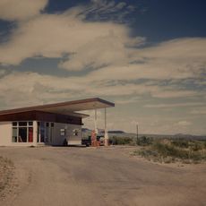
Travelers should bring extra water and fuel before crossing, as services are located several miles away from the pass. The road becomes challenging in extreme weather, so plan your crossing during favorable conditions.

Did you know?

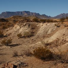
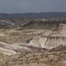
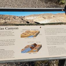
The rock layers here reveal deposits from an ancient sea that covered the region roughly 100 million years ago. These geological strata tell the story of a vanished ocean landscape that once dominated the area.

Location
GPS coordinates
29.66830,-103.17100
Latest update
December 14, 2025 18:04

AroundUs brings together thousands of curated places, local tips, and hidden gems, enriched daily by 60,000 contributors worldwide. Discover all places nearby (Brewster County).

Around this place
Emory Peak
United States of America

Emory Peak

48.8 km
Aguja Formation
Mexico

Aguja Formation

51.9 km
Javelina Formation
United States of America

Javelina Formation

46.6 km
Hot Springs
United States of America

Hot Springs

56.9 km
La Linda International Bridge
Mexico

La Linda International Bridge

41.6 km
Homer Wilson Ranch
United States of America

Homer Wilson Ranch

54 km
Boquillas Canyon
United States of America

Boquillas Canyon

57.9 km
Daniels Farm House
United States of America

Daniels Farm House

57.1 km
Gage Hotel
United States of America

Gage Hotel

60.4 km
Sotol Vista Overlook
United States of America

Sotol Vista Overlook

54.3 km
Panther Junction Visitor Center
United States of America

Panther Junction Visitor Center

38.1 km
Panther Junction Mission 66 Historic District
United States of America

Panther Junction Mission 66 Historic District

38.1 km
Chisos Basin Visitor Center
United States of America

Chisos Basin Visitor Center

46 km
Dugout Wells
United States of America

Dugout Wells

44.3 km
Persimmon Gap Entrance Sign
United States of America

Persimmon Gap Entrance Sign

1.3 km
Panther Junction Gas Station
United States of America

Panther Junction Gas Station

37.9 km
Starlight Theatre
United States of America

Starlight Theatre

56.6 km
Persimmon Gap Entrance Station
United States of America

Persimmon Gap Entrance Station

817 m
Rio Grande Village Campground
United States of America

Rio Grande Village Campground

58.1 km
Homer Wilson Ranch Overlook
United States of America

Homer Wilson Ranch Overlook

53.8 km
Rio Grande Village Campground Amphitheater
United States of America

Rio Grande Village Campground Amphitheater

58 km
Maverick Entrance Sign
United States of America

Maverick Entrance Sign

52.3 km
Boquillas Canyon Overlook
United States of America

Boquillas Canyon Overlook

58 km
Langford Hot Springs
United States of America

Langford Hot Springs

57 km
Livingston House
United States of America

Livingston House

57.1 km
Hot Springs Store
United States of America

Hot Springs Store

57.1 km
Tornillo Creek Bridge
United States of America

Tornillo Creek Bridge

55.6 km
Hot Springs Cabins
United States of America

Hot Springs Cabins

57.1 km
Show the full map
« Persimmon Gap - Road mountain pass in Brewster County, US » is provided by Around Us (aroundus.com). Images and texts are derived from Wikimedia project under a Creative Commons license. You are allowed to copy, distribute, and modify copies of this page, under the conditions set by the license, as long as this note is clearly visible.

Discover hidden gems everywhere you go!

From secret cafés to breathtaking viewpoints, skip the crowded tourist spots and find places that match your style. Our app makes it easy with voice search, smart filtering, route optimization, and insider tips from travelers worldwide. Download now for the complete mobile experience.

Around Us App Screenshot

A unique approach to discovering new places

Le Figaro

All the places worth exploring

France Info

A tailor-made excursion in just a few clicks

20 Minutes

Around Us
Travel Guide & Maps
Download

Send to your phone

QR Code
1

Open the camera app on your mobile.

2

Point at the QR code with your camera. A notification will appear.

3

Tap the notification to open the link.