Enable Location

We need your location to show you interesting places around you

Discover nearby places

Find interesting locations and hidden gems around you

Precise directions

Get accurate directions and distances to places

Your location is never shared with other users. It's only used when you tap the location button.

Artesia

Log in to your account

Start exploring — it's free

Trusted by travelers worldwide

Continue with Google
Continue with Apple
or

We will send you a code to connect

By continuing, you accept our Terms and Conditions and our Privacy Policy

Check your inbox

We've sent a pincode in your inbox. Please enter the code below.

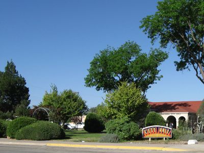
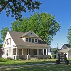
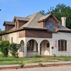
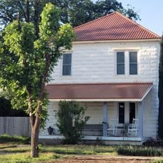
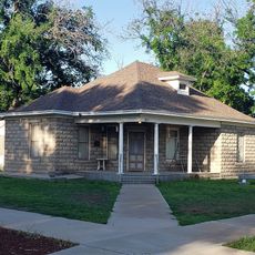
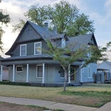
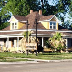
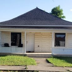
Artesia, Administrative center in Eddy County, New Mexico, United States.

Description

Artesia is a city in Eddy County, New Mexico, situated at the intersection of U.S. Routes 82 and 285 and covering about 9.9 square miles (26 square kilometers) of land. The Pecos River flows roughly 4 miles (6 kilometers) to the east, shaping the geography of this southeastern New Mexico settlement.

History

The discovery of an artesian aquifer in 1903 prompted the settlement's founding, with the town incorporating in 1905. Water accessibility from underground sources drove agricultural expansion and well development through the 1920s.

Culture

The town takes its name from the artesian well discovered in the early 1900s, which became central to how residents understood their community's identity. This water-based heritage shapes how people here view their relationship with the land and local resources.

Practical

The city is easily accessed via U.S. Routes 82 and 285, connecting to regional economic centers. The landscape is flat and mostly rural, so visitors should plan for open sun exposure when exploring outdoor areas.

Did you know?

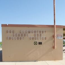
The former Abo Elementary School, built in 1962, was one of the first public schools designed to function as a nuclear fallout shelter for about 2,000 people. Its underground classroom design reflected Cold War fears of that era.

Location
Inception
1905
Elevation above the sea
1,030 m
GPS coordinates
32.84278,-104.41222
Latest update
December 17, 2025 08:48

AroundUs brings together thousands of curated places, local tips, and hidden gems, enriched daily by 60,000 contributors worldwide. Discover all places nearby (Eddy County).

Around this place
Abo Elementary School
United States of America

Abo Elementary School

1.3 km
Sallie Chisum Robert House
United States of America

Sallie Chisum Robert House

598 m
Moore-Ward Cobblestone House
United States of America

Moore-Ward Cobblestone House

971 m
Willie D. Atkeson House
United States of America

Willie D. Atkeson House

1.4 km
United States of America

Dr. Robert M. Ross House

1.7 km
William Baskin House
United States of America

William Baskin House

563 m
United States of America

Baskin Building

1.1 km
F. L. Lukins House
United States of America

F. L. Lukins House

688 m
Hodges-Runyan-Brainard House
United States of America

Hodges-Runyan-Brainard House

922 m
Mauldin-Hall House
United States of America

Mauldin-Hall House

1.4 km
John Acord House
United States of America

John Acord House

605 m
Hodges-Sipple House
United States of America

Hodges-Sipple House

777 m
United States of America

Edward R. Gesler House

1.1 km
United States of America

William Baskin House Historic Site

836 m
United States of America

Moore-Ward Cobblestone House

935 m
United States of America

Hodges-Runyan-Brainard House Historic Site

836 m
United States of America

John Acord House Historic Site

836 m
United States of America

Baskin Building Historic Site

836 m
United States of America

Hodges-Sipple House Historic Site

836 m
United States of America

Edward R Gasler House Historic Site

836 m
United States of America

Artesia Country Club

2.4 km
United States of America

Robert-Sallie Chisum House Historic Site

836 m
United States of America

Sipple-Ward Building Historic Site

836 m
United States of America

Doctor Robert M Ross House Historic Site

836 m
United States of America

Heritage Walkway

1.1 km

Ocotillo

1.1 km
United States of America

Freedom's Fire

905 m
United States of America

Work of art, sculpture

1.3 km
Show the full map
« Artesia - Administrative center in Eddy County, New Mexico, United States » is provided by Around Us (aroundus.com). Images and texts are derived from Wikimedia project under a Creative Commons license. You are allowed to copy, distribute, and modify copies of this page, under the conditions set by the license, as long as this note is clearly visible.

Discover hidden gems everywhere you go!

From secret cafés to breathtaking viewpoints, skip the crowded tourist spots and find places that match your style. Our app makes it easy with voice search, smart filtering, route optimization, and insider tips from travelers worldwide. Download now for the complete mobile experience.

Around Us App Screenshot

A unique approach to discovering new places

Le Figaro

All the places worth exploring

France Info

A tailor-made excursion in just a few clicks

20 Minutes

Around Us
Travel Guide & Maps
Download

Send to your phone

QR Code
1

Open the camera app on your mobile.

2

Point at the QR code with your camera. A notification will appear.

3

Tap the notification to open the link.